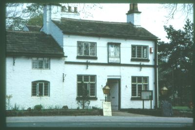
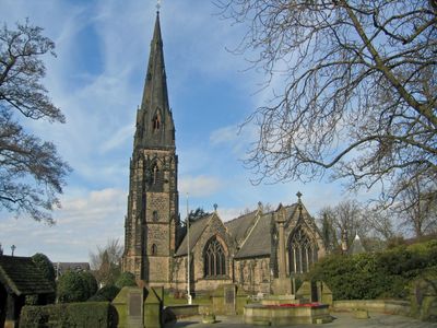
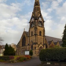
Alderley Edge, Affluent village in Cheshire East, England
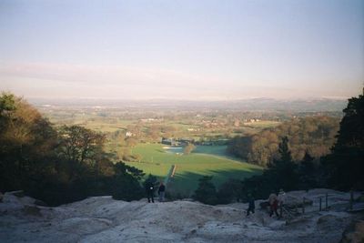
Alderley Edge is a village in Cheshire East, England, sitting at the base of a sandstone ridge that rises 215 meters (705 feet) above sea level. The ground slopes gently away and opens wide views over the flat Cheshire Plain.
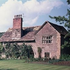
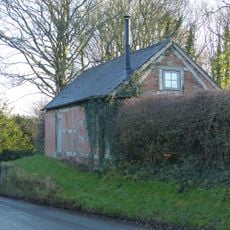
The settlement began in the 13th century under the name Chorlegh and later changed its name after the nearby rise. The De Trafford family has held most of the land here since the 15th century.
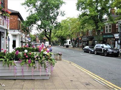
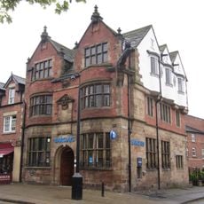
The village sits within Cheshire's Golden Triangle, a zone of expensive properties where Premier League footballers and performers often live. The homes follow the gentle slope and offer open views across the plain.
The railway station offers frequent connections to Manchester and Crewe, so visitors can arrive easily from either direction. A new bypass has kept through traffic out of the village center.
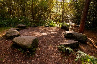
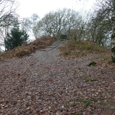
Old copper mines beneath the village were already in use during the Bronze Age and Roman times. Today the Derbyshire Caving Club maintains the underground passages and organizes occasional tours through the tunnels.
The community of curious travelers
AroundUs brings together thousands of curated places, local tips, and hidden gems, enriched daily by 60,000 contributors worldwide.