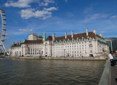
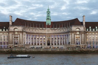
County of London, Ceremonial county in England
The County of London was an administrative area in the center of the metropolis, covering the inner districts and the City. It spanned about 315 square kilometers (122 square miles) and stretched from the West End to the eastern docklands.
The administrative unit was created in 1889 as the first unified government for the core urban area. It was dissolved in 1965 and replaced by Greater London, which included the surrounding suburbs.
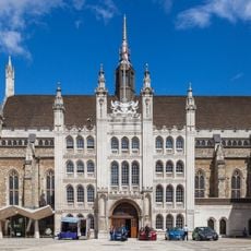
The name derives from the medieval City but was extended to cover a much larger area. People used the new administrative boundaries to organize public services such as schools and parks.
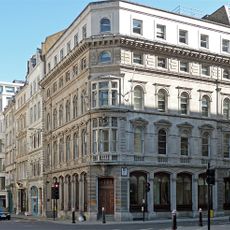
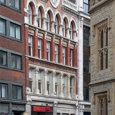
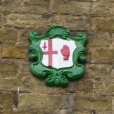
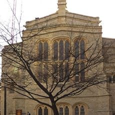
Most buildings and streets from that era remain visible today and shape the look of the inner city. Many public facilities such as fire stations and libraries still carry the old coats of arms.
The boundary often ran through the middle of streets, so neighbors on opposite sides lived in different boroughs. Some postcodes still overlap with the old borders today and recall the former division.
The community of curious travelers
AroundUs brings together thousands of curated places, local tips, and hidden gems, enriched daily by 60,000 contributors worldwide.