Galashiels, Commercial town in Scottish Borders, United Kingdom
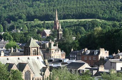
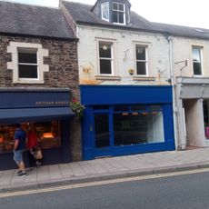
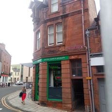
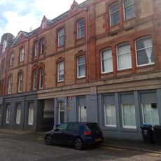
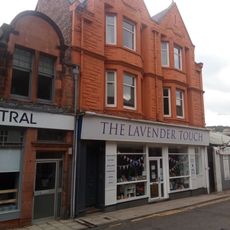
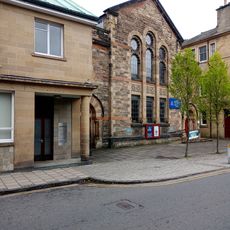
Galashiels sits in a narrow valley where Gala Water flows into the River Tweed, with rolling hills rising on both sides. The town's streets follow the river valley, lined with shops, homes, and public spaces built across different periods.
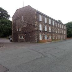
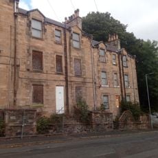
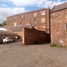
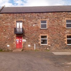
The textile industry reshaped this settlement in the 1800s, turning it into a major center for weaving and cloth production. Mills along the river became the heart of local life and drew workers and families seeking employment.
The Braw Lads Gathering brings the community together each summer with riders in traditional dress parading through town streets. This celebration keeps local history alive and connects residents to their shared past.
The town is easily reached from Edinburgh by train, with the Borders Railway providing regular connections. Multiple cycling routes pass through, so visitors with bikes can explore the valley and surrounding areas comfortably.
The town's coat of arms shows two foxes reaching for plums, a quirky symbol tied to a medieval border dispute. This odd imagery reflects the area's history as a contested frontier between Scotland and England.
The community of curious travelers
AroundUs brings together thousands of curated places, local tips, and hidden gems, enriched daily by 60,000 contributors worldwide.