Cross Fell, Mountain summit in Culgaith, England
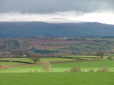
Cross Fell is a mountain summit in the Pennines region that rises to 893 meters above sea level, making it the highest point outside the Lake District. The peak is often shrouded in dense fog and exposed to strong winds, with weather conditions there remaining changeable throughout the year.
The mountain was originally called Fiends Fell until Saint Augustine of Canterbury visited the location and gave it its new name. This name change marks an important moment in the area's past and continues to define the significance of the place.
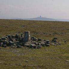
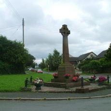
The peak takes its name from a stone cross that serves as a landmark for those who reach the summit. This cross has become embedded in local identity and continues to shape how people perceive and navigate the mountain.
Good navigation skills and proper equipment are important since the summit frequently lies in dense fog and is exposed to strong winds. Visitors should be prepared for changing weather and know how to stay oriented safely.
The summit is composed of layers of mudstone, sandstone, and siltstone from the Yoredale Group, while lower elevations feature limestone formations. This geological composition makes the mountain particularly interesting for climbers and geology enthusiasts.
The community of curious travelers
AroundUs brings together thousands of curated places, local tips, and hidden gems, enriched daily by 60,000 contributors worldwide.