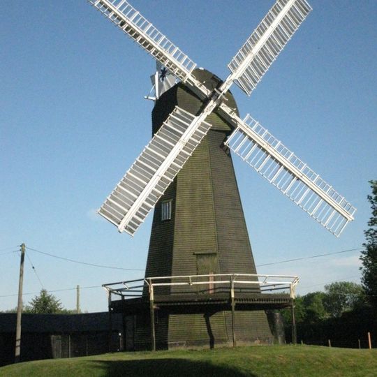
Stelling Minnis, village and civil parish in Kent, UK
The community of curious travelers
AroundUs brings together thousands of curated places, local tips, and hidden gems, enriched daily by 60,000 contributors worldwide.
Reed Mill
4.2 km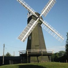
Davison's Mill, Stelling Minnis
240 m
Shrub's Wood Long Barrow
4.7 km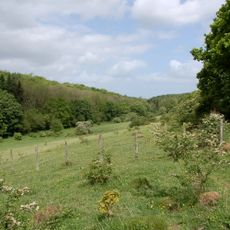
Park Gate Down
2.6 km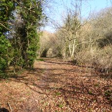
Yockletts Bank
2.2 km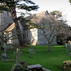
Church of St Peter and St Paul
4.1 km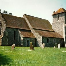
Church of St Mary
5.3 km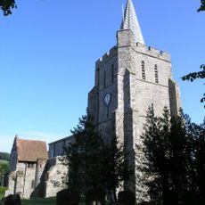
Church of St Mary the Virgin
4.3 km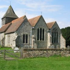
Church of St James
3.4 km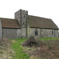
Church of St Bartholomew
3.7 km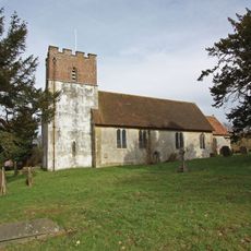
Church of All Saints
4.8 km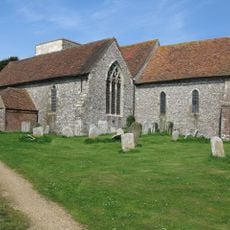
Church of St Mary
1.9 km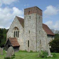
Church of St Mary
4.9 km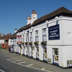
The Rose And Crown Inn
4.2 km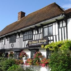
The Abbots Fireside Hotel And Restaurant
4.2 km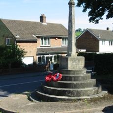
Elham War Memorial
4 km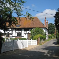
Boyke Manor
4.8 km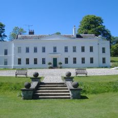
Charlton Park
6.8 km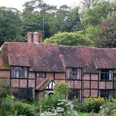
Tappington Hall
6.5 km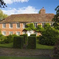
Lindon Hall
5.7 km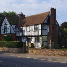
Old Robus
5.7 km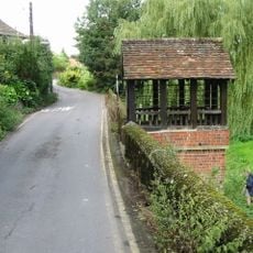
St Ethelburga's Well And Wall To North And South
6 km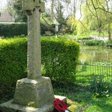
Elmstead and Hastingleigh War Memorial
5.1 km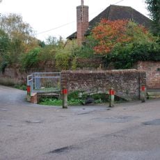
Footbridge At Ford
6.6 km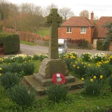
Lower Hardres War Memorial
6.4 km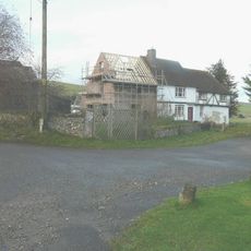
Parsonage Farmhouse
4.1 km
Oval barrow in Shrub's Wood
4.7 km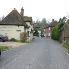
Old Hall
5.1 kmDiscover hidden gems everywhere you go!
From secret cafés to breathtaking viewpoints, skip the crowded tourist spots and find places that match your style. Our app makes it easy with voice search, smart filtering, route optimization, and insider tips from travelers worldwide. Download now for the complete mobile experience.

A unique approach to discovering new places❞
— Le Figaro
All the places worth exploring❞
— France Info
A tailor-made excursion in just a few clicks❞
— 20 Minutes
