Enable Location

We need your location to show you interesting places around you

Discover nearby places

Find interesting locations and hidden gems around you

Precise directions

Get accurate directions and distances to places

Your location is never shared with other users. It's only used when you tap the location button.

Log in to your account

Start exploring — it's free

Trusted by 62,168 travelers worldwide

Continue with Google
Continue with Apple
or

We will send you a code to connect

By continuing, you accept our Terms and Conditions and our Privacy Policy

Check your inbox

We've sent a pincode in your inbox. Please enter the code below.

Folkestone and Hythe District

Folkestone and Hythe District, Administrative district in Kent, England

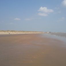
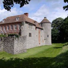
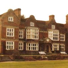
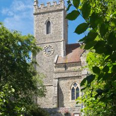
Folkestone and Hythe is an administrative district in Kent that spans coastal towns and rural countryside. The area stretches from the North Downs hills to the Romney Marsh lowlands, bringing together diverse landscapes and communities.

The district was established in 1974 when six former administrative areas merged, including the municipal boroughs of Folkestone, Hythe, Lydd, and New Romney. This combination laid the foundation for the current administrative structure.

The district is shaped by multiple town councils and parish meetings that give residents a voice in local affairs. This decentralized approach shows in daily life, where communities actively participate in decisions about their neighborhoods.

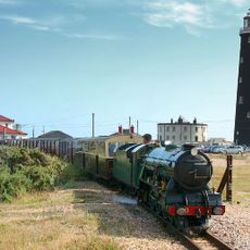
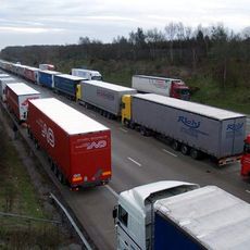
The area connects well to other regions through the M20 motorway, rail services, and the Channel Tunnel terminal. Getting around depends on your destination, whether you are moving within the district or traveling further afield.

The district changed its name from Shepway to Folkestone and Hythe in 2018 to boost recognition and support regional growth. This shift reflected a fresh direction in how the area sees itself and promotes its future.

The community of curious travelers

AroundUs brings together thousands of curated places, local tips, and hidden gems, enriched daily by 60,000 contributors worldwide.

Start exploring
GPS coordinates
51.05775,1.00607
Latest update
December 7, 2025 20:24
« Folkestone and Hythe District - Administrative district in Kent, England » is provided by Around Us (aroundus.com). Images and texts are derived from Wikimedia project under a Creative Commons license. You are allowed to copy, distribute, and modify copies of this page, under the conditions set by the license, as long as this note is clearly visible.

Discover hidden gems everywhere you go!

From secret cafés to breathtaking viewpoints, skip the crowded tourist spots and find places that match your style. Our app makes it easy with voice search, smart filtering, route optimization, and insider tips from travelers worldwide. Download now for the complete mobile experience.

Around Us App Screenshot

A unique approach to discovering new places

Le Figaro

All the places worth exploring

France Info

A tailor-made excursion in just a few clicks

20 Minutes

Around Us
Travel Guide & Maps
Download

Send to your phone

QR Code
1

Open the camera app on your mobile.

2

Point at the QR code with your camera. A notification will appear.

3

Tap the notification to open the link.