Tre'r Ceiri, Iron Age contour fort in Gwynedd, Wales
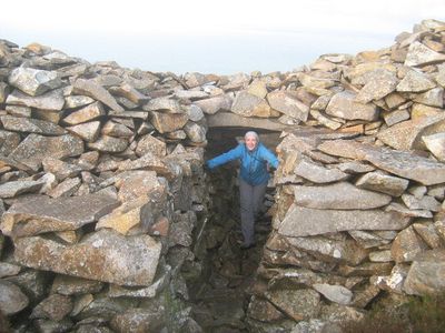
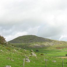
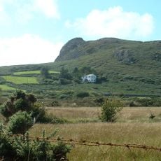
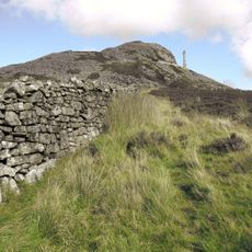
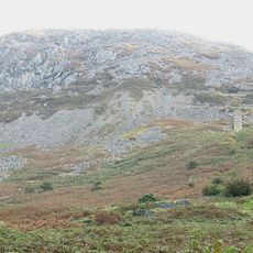
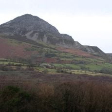
Tre'r Ceiri is an Iron Age hilltop fort in Gwynedd, Wales, where stone walls rise up to 4 meters high and enclose the remains of roughly 150 stone houses scattered across 2.5 hectares. The settlement sits at an elevated position and is defined by prominent stone structures that stand out clearly against the surrounding landscape.
The fort was built around 200 BC and remained an active settlement throughout the Roman occupation until its abandonment in the fourth century AD. The extended period of habitation shows that the location held importance even as political circumstances shifted around it.
The name translates to 'Town of Giants' in Welsh, reflecting the massive stone structures that early inhabitants discovered at this elevated location. These constructions shaped how people understood and used the space throughout its occupation.
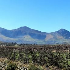
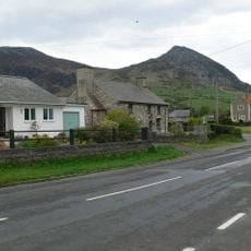
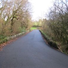
Access is via a marked footpath from the B4417 road west of Llanaelhaearn village, which involves a steady climb to the archaeological site. The route is clearly marked, allowing visitors to follow it easily without getting lost along the way.
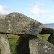
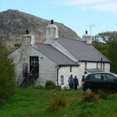
At the summit sits an Early Bronze Age burial cairn that was preserved and respected throughout the fort's later development. This careful treatment of an older monument reveals how later inhabitants knew and honored the history of their location.
The community of curious travelers
AroundUs brings together thousands of curated places, local tips, and hidden gems, enriched daily by 60,000 contributors worldwide.