Normanton, town in the City of Wakefield, West Yorkshire, England
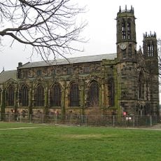
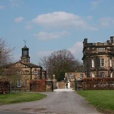
Normanton is a small town in West Yorkshire with a mix of older buildings and newer houses spread throughout. The layout reflects different periods of growth, from medieval foundations to Victorian structures built during the railway and coal mining era.
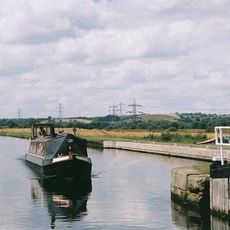
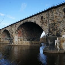
Normanton grew as a Norman settlement in the 11th century and experienced its greatest growth in the 1800s through railways and coal mining. These industries shaped the town and its people, until coal mining declined in the early 2000s.
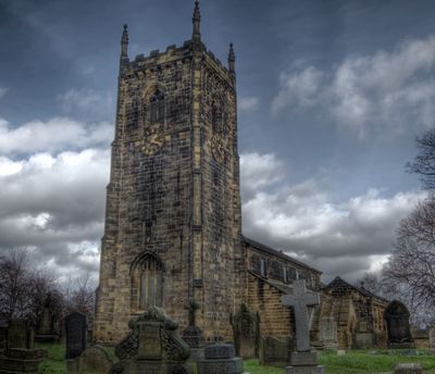
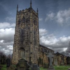
The name Normanton comes from Norman times around 1086 and means 'Norman town'. Walking through the streets today, you can see how this medieval heritage shapes the layout and character of the place.
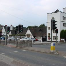
Exploring Normanton is straightforward, as the town connects well by bus and train to larger cities like Leeds and Wakefield. Parking is available in many areas, and most places are within walking distance or just a few minutes' drive.
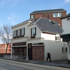
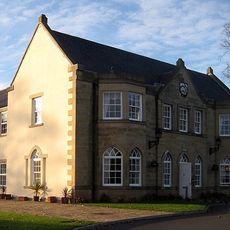
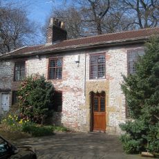
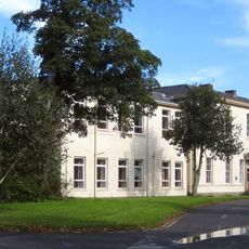
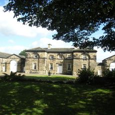
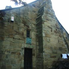
Hanson House, a timber-framed building from the 15th century, stands as an example of medieval craftsmanship and has undergone restoration work following a fire. Visitors can see this structure and understand the effort required to maintain such old buildings.
The community of curious travelers
AroundUs brings together thousands of curated places, local tips, and hidden gems, enriched daily by 60,000 contributors worldwide.