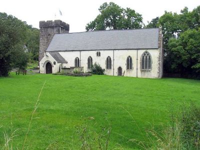
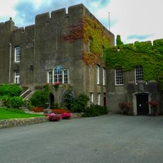
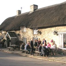
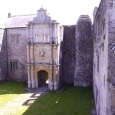
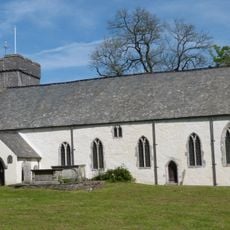
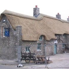
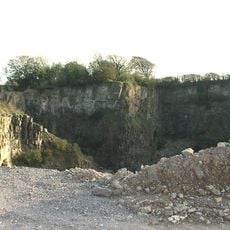
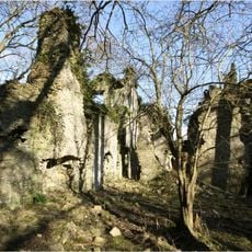
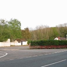
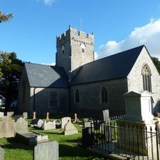
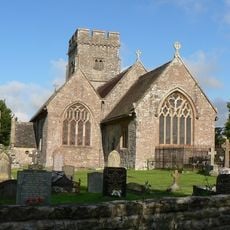
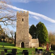
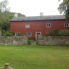
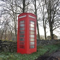
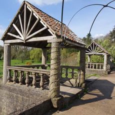
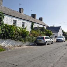
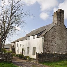
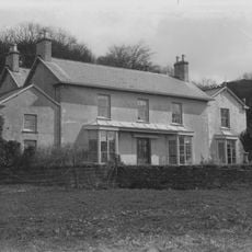
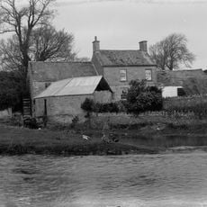
Llancarfan, village and community in the Vale of Glamorgan, Wales
Location: Vale of Glamorgan
Elevation above the sea: 23 m
GPS coordinates: 51.41700,-3.36700
Latest update: June 16, 2025 11:49
Fonmon Castle
1.5 km
The Bush Inn
5.1 km
Old Beaupre Castle
4.8 km
St Cadoc's Church
650 m
The Blue Anchor Inn
3.2 km
Pant-y-Ffynnon Quarry
4.6 km
East Orchard Castle
2.6 km
Welsh Hawking Centre
4.1 km
St Tathan's Church
3.7 km
St Hilary's Church
5 km
St Illtyd's Church
3.3 km
St Mary's Church
1.1 km
Llangiwa Castle
5.8 km
St Athan, Flemingston and Eglwys Brewis War Memorial
3.8 km
Ruins of Llantrithyd Place
3.2 km
Kenson Bridge
814 m
Trewallter Fawr Farmhouse
2.4 km
St Athan Library
3.6 km
Telephone Call-Box to N of Parish Church, Llantrithyd
3.3 km
Vine Walk and Kiosks
5.2 km
West Orchard Farmhouse
4.1 km
Glamorgan Yeomanry War Memorial
5.6 km
Saint Athan's Methodist Chapel
3.5 km
Old Beaupre Farmhouse
4.8 km
New Beaupre
5.5 km
Walled Garden at Dyffryn House
5.2 km
Howe MiIll
5.4 km
Llancarfan Wesleyan Methodist Chapel
749 mReviews
Visited this place? Tap the stars to rate it and share your experience / photos with the community! Try now! You can cancel it anytime.
Discover hidden gems everywhere you go!
From secret cafés to breathtaking viewpoints, skip the crowded tourist spots and find places that match your style. Our app makes it easy with voice search, smart filtering, route optimization, and insider tips from travelers worldwide. Download now for the complete mobile experience.
A unique approach to discovering new places❞
— Le Figaro
All the places worth exploring❞
— France Info
A tailor-made excursion in just a few clicks❞
— 20 Minutes