Enable Location

We need your location to show you interesting places around you

Discover nearby places

Find interesting locations and hidden gems around you

Precise directions

Get accurate directions and distances to places

Your location is never shared with other users. It's only used when you tap the location button.

Street

Log in to your account

Start exploring — it's free

Trusted by 62,032 travelers worldwide

Continue with Google
Continue with Apple
or

We will send you a code to connect

By continuing, you accept our Terms and Conditions and our Privacy Policy

Check your inbox

We've sent a pincode in your inbox. Please enter the code below.

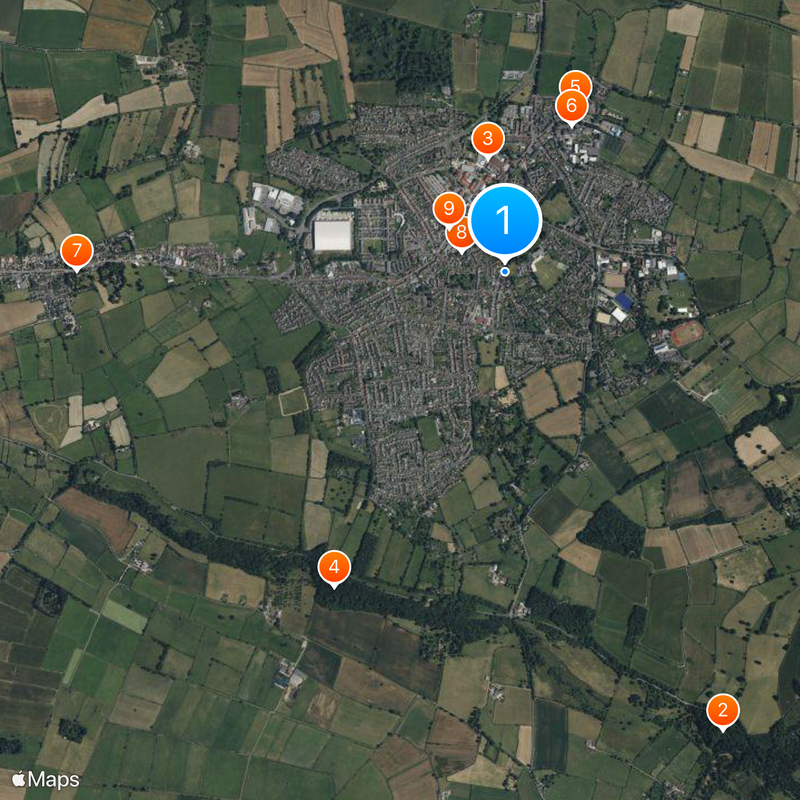
Street, Civil parish in Mendip, England.

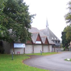
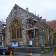
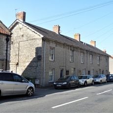
Street is a village in Mendip, England, situated at the edge of the Polden Hills on a dry area within the Somerset Levels. It lies roughly two miles southwest of Glastonbury and contains schools, shops, and recreational facilities for its residents.

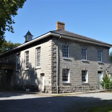
The area shows traces of Roman settlements from ancient times, with later connections to Glastonbury Abbey that shaped its development. A significant moment came in the 12th century when a stone causeway was built to link the abbey with the surrounding region.

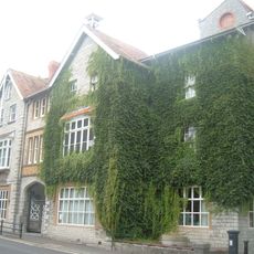
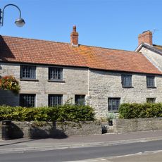
The Quaker community shaped the village from the 17th century onward, leaving a mark on how business and community life developed here. This heritage remains visible in the local way of doing things and the values that guide the place.

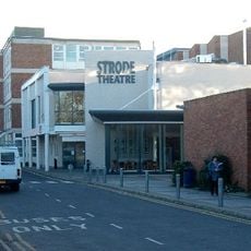
The village is easy to walk around and has well-marked streets and public spaces. There is adequate parking available and access to various shops and facilities that are open to visitors.

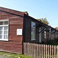
The Clarks shoe factory has deep roots here and was later transformed into Clarks Village, one of Britain's first factory outlet centers. This transformation shows how a traditional factory building became a modern shopping destination for visitors from across the region.

The community of curious travelers

AroundUs brings together thousands of curated places, local tips, and hidden gems, enriched daily by 60,000 contributors worldwide.

Start exploring
Location
GPS coordinates
51.12350,-2.73810
Latest update
December 20, 2025 00:22
« Street - Civil parish in Mendip, England » is provided by Around Us (aroundus.com). Images and texts are derived from Wikimedia project under a Creative Commons license. You are allowed to copy, distribute, and modify copies of this page, under the conditions set by the license, as long as this note is clearly visible.

Discover hidden gems everywhere you go!

From secret cafés to breathtaking viewpoints, skip the crowded tourist spots and find places that match your style. Our app makes it easy with voice search, smart filtering, route optimization, and insider tips from travelers worldwide. Download now for the complete mobile experience.

Around Us App Screenshot

A unique approach to discovering new places

Le Figaro

All the places worth exploring

France Info

A tailor-made excursion in just a few clicks

20 Minutes

Around Us
Travel Guide & Maps
Download

Send to your phone

QR Code
1

Open the camera app on your mobile.

2

Point at the QR code with your camera. A notification will appear.

3

Tap the notification to open the link.