Bromsgrove, Market town in Worcestershire, England.
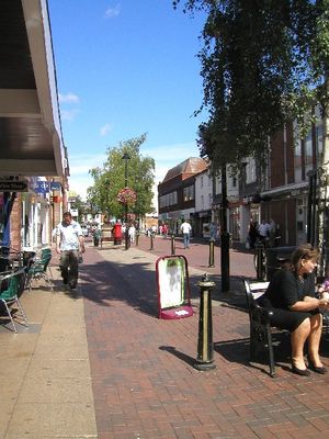
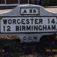
Bromsgrove is a town in Worcestershire, western England, positioned about 16 miles northeast of Worcester and 13 miles southwest of Birmingham. The town sits at a junction where several main roads and rail lines connect communities across the West Midlands region.
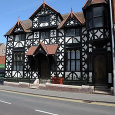
The first written mention of the settlement appears in the 9th century as Bremesgraf, and the Domesday Book of 1086 recorded it as Bremesgrave. During the 18th and 19th centuries the town grew as a center for nail manufacturing, with hundreds of small workshops scattered through the area.
Regular markets and festivals take place in the town center, maintaining local traditions that date back to the first market charter of 1200.
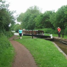
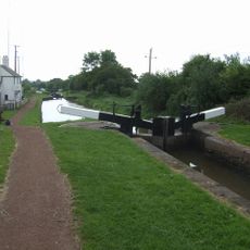
The railway station offers regular services to Birmingham, Worcester and other towns in the region and sits near the center. Most streets and areas can be reached on foot from the main streets, while parking is available near the shopping areas.
The local nail workshops were so numerous that entire families worked from home, and whole streets relied almost entirely on this trade. Many of the old workshop buildings can still be seen in residential streets today, often appearing as small extensions behind the main houses.
The community of curious travelers
AroundUs brings together thousands of curated places, local tips, and hidden gems, enriched daily by 60,000 contributors worldwide.