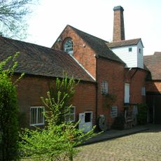
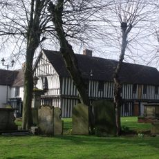
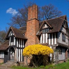
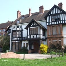
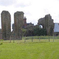
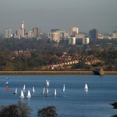
Bromsgrove District, local government district in Worcestershire, England
Location: Worcestershire
Inception: April 1, 1974
Capital city: Bromsgrove
Website: http://www.bromsgrove.gov.uk/
Website: http://bromsgrove.gov.uk
GPS coordinates: 52.33500,-2.05800
Latest update: March 4, 2025 06:29
Cadbury World
13.6 km
Hagley Hall
10.8 km
Clent Hills
9.1 km
Sarehole Mill
17.6 km
Tardebigge Locks
3.6 km
Grafton Manor
2.7 km
Hewell Grange
4.7 km
Moseley Bog
17.4 km
Wychbury Obelisk
11.6 km
Saracen's Head
12 km
Selly Manor
13.6 km
Castle in Hagley Park
10.4 km
Northfield Manor House
12.4 km
Halesowen Abbey
12.2 km
Bartley Reservoir
11.2 km
St Lazar's Church, Bournville
12.5 km
St Nicolas' Church, Kings Norton
12 km
St Laurence's Church, Northfield
10.7 km
Black Horse
10.3 km
Bordesley Abbey
8.9 km
Hagley Park
10.7 km
Frankley Reservoir
10.4 km
Weoley Castle
13.4 km
Highbury
16 km
Brandwood End Cemetery
14.2 km
St Edward's Church, Selly Park, Birmingham
14.8 km
St Mary's Church
13.8 km
Artrix
599 mReviews
Visited this place? Tap the stars to rate it and share your experience / photos with the community! Try now! You can cancel it anytime.
Discover hidden gems everywhere you go!
From secret cafés to breathtaking viewpoints, skip the crowded tourist spots and find places that match your style. Our app makes it easy with voice search, smart filtering, route optimization, and insider tips from travelers worldwide. Download now for the complete mobile experience.
A unique approach to discovering new places❞
— Le Figaro
All the places worth exploring❞
— France Info
A tailor-made excursion in just a few clicks❞
— 20 Minutes