Victoria Embankment, Thames riverside road in Westminster and City of London, England
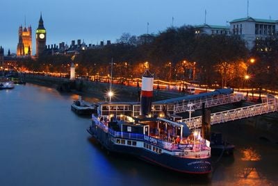
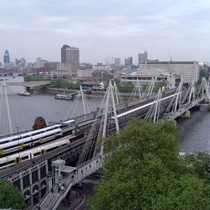
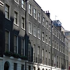
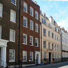
Victoria Embankment is a broad riverside road that runs along the north bank of the Thames, connecting Westminster to Blackfriars Bridge with separate lanes for traffic and spacious walking areas. The route passes through gardens, around monuments, and along green spaces that sit between the street and the water.
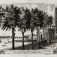
Joseph Bazalgette designed this project in the 1860s to combine London's first underground sewerage system with new land reclaimed from the river. This engineering achievement transformed how the city managed waste and opened up the riverside to the public.
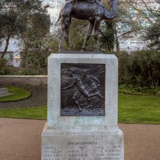
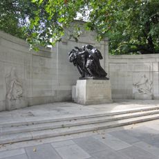
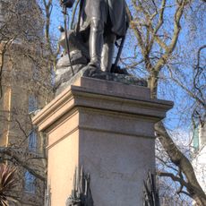
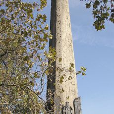
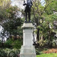
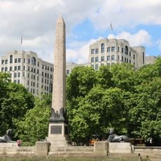
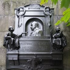
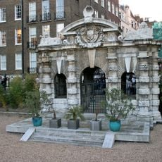
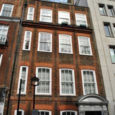
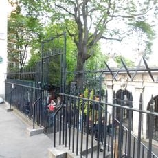
The embankment holds several memorials and monuments that reflect Britain's past, drawing visitors who walk here daily to remember historical events. These tributes are woven into the pedestrian spaces, making the walk itself feel connected to the nation's story.
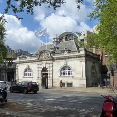
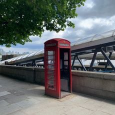
Several Underground stations including Temple and Embankment provide direct access along this central London thoroughfare. The pathways are well-paved and lit, making it easy to walk and stop at any point to view the river or nearby gardens.
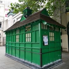
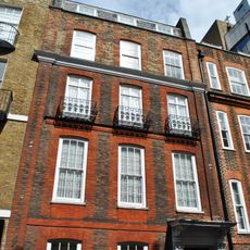
In 1878, this street became Britain's first to have permanent electric lighting, using Yablochkov candles powered by a Gramme DC generator. This early lighting system made walking here at night possible long before most of London had such technology.
The community of curious travelers
AroundUs brings together thousands of curated places, local tips, and hidden gems, enriched daily by 60,000 contributors worldwide.