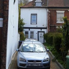
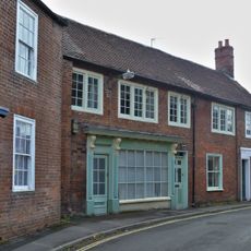
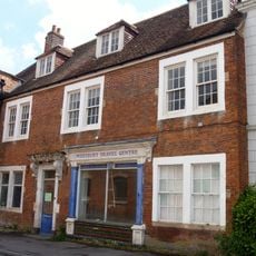
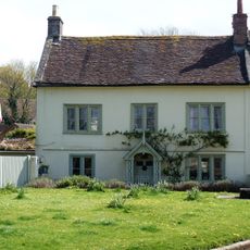
Westbury, Market town and civil parish in western Wiltshire, England
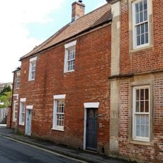
Westbury is a market town in Wiltshire situated in a valley beneath the chalk downlands of Salisbury Plain. The settlement spreads across this lowland area, with limestone hills forming its natural backdrop.
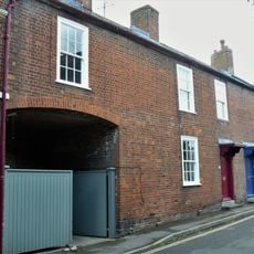
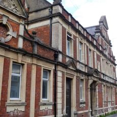
The settlement is recorded in the Domesday Book of 1086 as a royal estate and was granted town status in the 15th century. It lost this formal status in the 19th century but continued to function as a trading center.
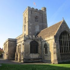
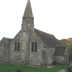
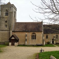
The All Saints Church reflects medieval craftsmanship through its bell tower, which still rings for local celebrations and services. These bells have shaped the soundscape of Westbury for centuries and remain central to community life.
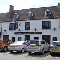
The railway station provides connections to London and Wales, while the A350 road links directly to the M4 motorway. Visitors can arrive by train or car and use Westbury as a base for exploring the wider region.
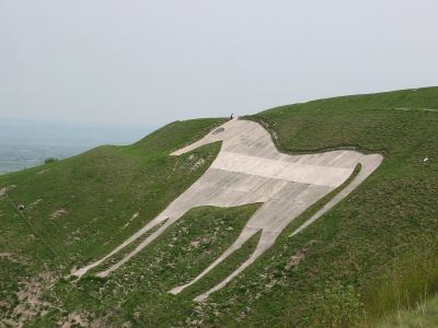
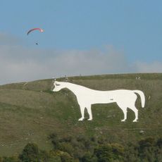
The Westbury White Horse is a chalk figure on the hillside created in the 18th century and later reinforced with concrete. This figure remains visible from across the valley and has become a defining landmark of the landscape.
Location: Wiltshire
Website: http://westburywilts.co.uk
GPS coordinates: 51.26000,-2.19100
Latest update: December 20, 2025 01:34
Westbury White Horse
3.1 km
Parish Church of All Saints
641 m
St Mary's Church, Old Dilton
2.4 kmUpton Cow Down
2.3 kmWestbury Ironstone Quarry
1.5 km
Old Town Hall, Westbury
690 m
Penknap Providence Church
1.8 km
Church of the Holy Saviour
1.1 km
20 and 22, Church Street
622 m
The Crown Inn
654 m
10, Church Street
605 m
12, Church Street
612 m
14, Church Street
622 m
16, 18 and 18A, Church Street
614 m
4, Church Street
577 m
Church View
671 m
6 and 6A, Church Street
582 m
The Bell Inn
1 km
The Cedars Country Club Hotel
636 m
K6 Telephone Kiosk Outside The White Lion Public House
661 m
The Horse And Groom Inn And Adjoining Cottage
790 m
The White Lion Public House
653 m
Perkin's Pieces
696 m
The Ludlow Arms Public House
681 m
Swimming Baths
596 m
75 And 77, Warminster Road
520 m
Dilton Marsh War Memorial
2.2 kmUnidentified Monument In The Churchyard About 3 Metres South Of Church Of St Mary
2.4 kmVisited this place? Tap the stars to rate it and share your experience / photos with the community! Try now! You can cancel it anytime.
Discover hidden gems everywhere you go!
From secret cafés to breathtaking viewpoints, skip the crowded tourist spots and find places that match your style. Our app makes it easy with voice search, smart filtering, route optimization, and insider tips from travelers worldwide. Download now for the complete mobile experience.
A unique approach to discovering new places❞
— Le Figaro
All the places worth exploring❞
— France Info
A tailor-made excursion in just a few clicks❞
— 20 Minutes