Hambleton Hills

Log in to your account

AroundUs is a community-driven map of interesting places, built by curious explorers like you. It grows with every review, story, and photo you share.
Connect to save your favorite spots, contribute locations, and create personalized routes.
By continuing, you accept our Terms and Conditions and our Privacy Policy

Hambleton Hills

Add to collection
Map
Suggest a change
Share

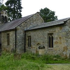
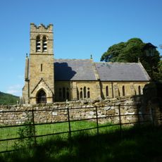
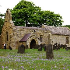
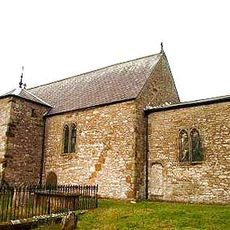
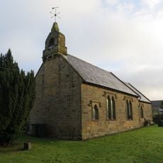
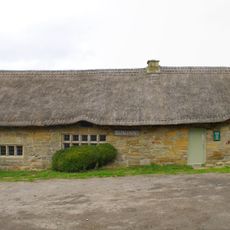
Hambleton Hills, Hill chain in North Yorkshire, England

Hambleton Hills is a ridge running north to south that forms a natural boundary between the North York Moors and Vale of Mowbray. Black Hambleton reaches about 1,300 feet in elevation, while Sutton Bank provides viewing points across the Vale of York and Vale of Mowbray.

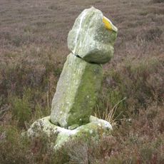
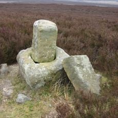
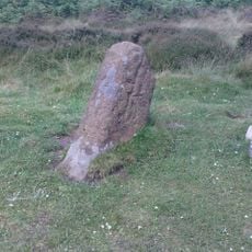
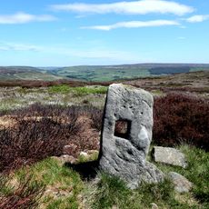
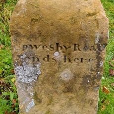
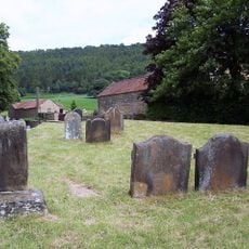
The area shows traces of very early settlement with burial sites from the Neolithic and Bronze Ages found along the ancient Hambleton Drove Road. This old trade route connected Scotland to southern England and shaped how this region was used for thousands of years.

The hills are known for the Kilburn White Horse, a limestone carving made in 1857 by a local schoolmaster, which remains visible across the surrounding landscape. This landmark shapes how people see and remember the area, drawing visitors who want to spot it from different vantage points.

The area is fairly easy to access, with several walking paths and viewpoints reachable over short distances. It is wise to wear sturdy footwear since the ground can be uneven and weather can change quickly.

In medieval times, the area was a center of pottery making where York Glazed Ware was produced in large quantities. These finely made ceramic goods were widely traded and show the skilled manufacturing reputation this region held in the 12th and 13th centuries.

Location: North Yorkshire

GPS coordinates: 54.31464,-1.20930

Latest update: December 12, 2025 09:02

Photos
Around this place
Upsall Castle
United Kingdom

Upsall Castle

7.5 km
Holy Trinity Church, Boltby
United Kingdom

Holy Trinity Church, Boltby

5.3 km
Church of St Michael and All Angels
United Kingdom

Church of St Michael and All Angels

5.3 km
Church of St Felix
United Kingdom

Church of St Felix

8.1 km
Church of All Saints
United Kingdom

Church of All Saints

2.7 km
Church of St Wilfrid
United Kingdom

Church of St Wilfrid

6.2 km
Church of St Mary
United Kingdom

Church of St Mary

6.2 km
Church of All Saints
United Kingdom

Church of All Saints

6.4 km
Church of All Saints
United Kingdom

Church of All Saints

6 km
Bow Bridge
United Kingdom

Bow Bridge

7.8 km
Bridge Over Gurtoff Beck
United Kingdom

Bridge Over Gurtoff Beck

5.3 km
Arden Hall
United Kingdom

Arden Hall

787 m
Spout House
United Kingdom

Spout House

6.3 km
Green K6 Telephone Kiosk At Fangdale Beck Junction
United Kingdom

Green K6 Telephone Kiosk At Fangdale Beck Junction

6.6 km
Kepwick Hall With Attached Service Wing And Coach House
United Kingdom

Kepwick Hall With Attached Service Wing And Coach House

3.8 km
Lodges, Gate Piers, Gates And Screen Walls To Thimbleby Hall
United Kingdom

Lodges, Gate Piers, Gates And Screen Walls To Thimbleby Hall

7.9 km
Roppa South Cross on Carr Cote Ridge 1100m WSW of Piethorn
United Kingdom

Roppa South Cross on Carr Cote Ridge 1100m WSW of Piethorn

7.3 km
Easterside Farmhouse
United Kingdom

Easterside Farmhouse

4.1 km
Wayside cross 600m east of Gallow Hill, known as Friar's Cross
United Kingdom

Wayside cross 600m east of Gallow Hill, known as Friar's Cross

3.1 km
Wayside cross 950m east of Spout House Plantation
United Kingdom

Wayside cross 950m east of Spout House Plantation

7.3 km
Section of the Cleave Dyke system on Arden Little Moor known as Steeple Cross Dyke including the Steeple Cross boundary stone
United Kingdom

Section of the Cleave Dyke system on Arden Little Moor known as Steeple Cross Dyke including the Steeple Cross boundary stone

1.7 km
Green Howe round barrow
United Kingdom

Green Howe round barrow

7.9 km
Boundary Stone On East Side Of Junction With Cophill Lane
United Kingdom

Boundary Stone On East Side Of Junction With Cophill Lane

7.8 km
Manor Farmhouse and Attached Stable Block
United Kingdom

Manor Farmhouse and Attached Stable Block

6 km
Group Of Font And Two Cross Bases With Shafts Approximately 5 Metres To South West Of Porch Of Church Of St Wilfrid
United Kingdom

Group Of Font And Two Cross Bases With Shafts Approximately 5 Metres To South West Of Porch Of Church Of St Wilfrid

6.2 km
Lime kilns 400m south west of Furlands
United Kingdom

Lime kilns 400m south west of Furlands

7.9 km
Leake Hall
United Kingdom

Leake Hall

8.2 km
Guidestone, Bilsdale, near Low Mill
United Kingdom

Guidestone, Bilsdale, near Low Mill

7.1 km
Show the full map
Reviews

Visited this place? Tap the stars to rate it and share your experience / photos with the community! Try now! You can cancel it anytime.

« Hambleton Hills - Hill chain in North Yorkshire, England » is provided by Around Us (aroundus.com). Images and texts are derived from Wikimedia project under a Creative Commons license. You are allowed to copy, distribute, and modify copies of this page, under the conditions set by the license, as long as this note is clearly visible.

Discover hidden gems everywhere you go!

From secret cafés to breathtaking viewpoints, skip the crowded tourist spots and find places that match your style. Our app makes it easy with voice search, smart filtering, route optimization, and insider tips from travelers worldwide. Download now for the complete mobile experience.

Around Us App Screenshot

A unique approach to discovering new places

Le Figaro

All the places worth exploring

France Info

A tailor-made excursion in just a few clicks

20 Minutes