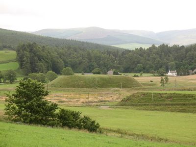
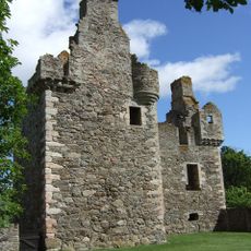
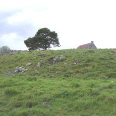
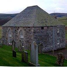
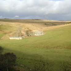
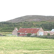
Doune of Invernochty, Norman earthwork castle in Strathdon, Scotland.
Doune of Invernochty is a Norman castle in Strathdon, Scotland, with a mound about 12 meters high and a platform measuring roughly 80 by 40 meters, surrounded by a ditch. The site has substantial stone foundations and includes a system of dams and channels that served both defense and water management purposes.
The castle was built in the 12th century by Earl Morggan of Mar during King David I's introduction of Norman feudalism into Scotland. It represents a key period when Scotland adopted new military and administrative structures from the south.
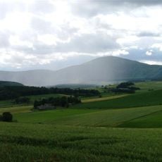
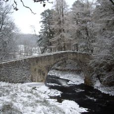
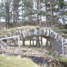
The name comes from Gaelic 'Dùn Inbhir Nochdaidh', which refers to its location where the River Don and Water of Nochty meet. You can still see how these two waterways shape the landscape and understand why this spot was chosen for the fortress.
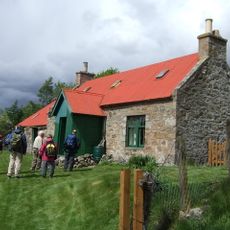
The mound has steep sides that are challenging to climb, and there are no marked paths across the archaeological remains. Sturdy footwear and enough time to explore at a leisurely pace are helpful for a safe and enjoyable visit.
The site contains a rare medieval water control system with dams and sluices that remained working until 1823. This engineering demonstrates the builders' advanced knowledge of water management from nearly nine centuries ago.
The community of curious travelers
AroundUs brings together thousands of curated places, local tips, and hidden gems, enriched daily by 60,000 contributors worldwide.