Enable Location

We need your location to show you interesting places around you

Discover nearby places

Find interesting locations and hidden gems around you

Precise directions

Get accurate directions and distances to places

Your location is never shared with other users. It's only used when you tap the location button.

Gwent

Log in to your account

Start exploring — it's free

Trusted by 62,597 travelers worldwide

Continue with Google
Continue with Apple
or

We will send you a code to connect

By continuing, you accept our Terms and Conditions and our Privacy Policy

Check your inbox

We've sent a pincode in your inbox. Please enter the code below.

Gwent, Preserved county in southeastern Wales

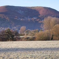
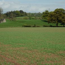
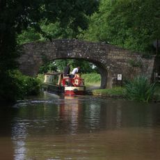
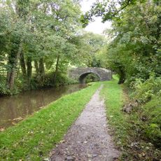
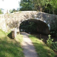
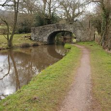
Gwent is a preserved county in southeastern Wales situated between the Brecon Beacons and the Bristol Channel. It covers five administrative areas—Blaenau Gwent, Caerphilly, Monmouthshire, Newport, and Torfaen—each with distinct terrain ranging from industrial valleys to moorland plateaus.

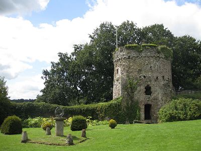
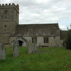
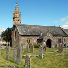
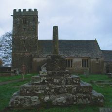
Gwent takes its name from an ancient kingdom that once ruled these lands, later becoming a Roman settlement and then a Norman stronghold. Created as an administrative county in 1974, it lost formal status in 1996 though its identity remains embedded in local institutions.

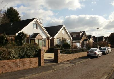
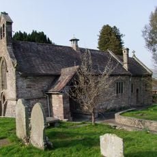
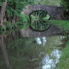
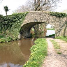
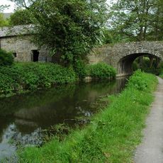
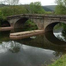
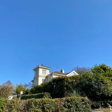
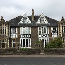
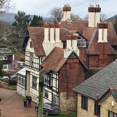
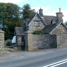
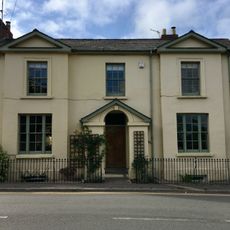
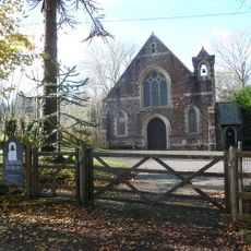
The area carries strong echoes of coal mining through its landscape and communities, where former pit villages tell stories of workers and their families. Local place names and buildings reflect centuries of connection to the land and its resources.

The region is best explored by car, as public transport connects main towns but rural areas have limited service. Weather changes quickly, so visitors should come prepared with waterproof layers and sturdy shoes.

Though formally abolished as an administrative area in 1996, major organizations like the Royal Gwent Hospital, Gwent Police, and Coleg Gwent continue using its name in their titles. This unofficial persistence means the region's identity survives through the work and presence of these institutions rather than through official boundaries.

The community of curious travelers

AroundUs brings together thousands of curated places, local tips, and hidden gems, enriched daily by 60,000 contributors worldwide.

Start exploring
Location
Shares border with
South Glamorgan, Mid Glamorgan, Powys, Herefordshire, Gloucestershire
GPS coordinates
51.78900,-3.01800
Latest update
December 19, 2025 22:04
Around this place
Show the full map
« Gwent - Preserved county in southeastern Wales » is provided by Around Us (aroundus.com). Images and texts are derived from Wikimedia project under a Creative Commons license. You are allowed to copy, distribute, and modify copies of this page, under the conditions set by the license, as long as this note is clearly visible.

Discover hidden gems everywhere you go!

From secret cafés to breathtaking viewpoints, skip the crowded tourist spots and find places that match your style. Our app makes it easy with voice search, smart filtering, route optimization, and insider tips from travelers worldwide. Download now for the complete mobile experience.

Around Us App Screenshot

A unique approach to discovering new places

Le Figaro

All the places worth exploring

France Info

A tailor-made excursion in just a few clicks

20 Minutes

Around Us
Travel Guide & Maps
Download

Send to your phone

QR Code
1

Open the camera app on your mobile.

2

Point at the QR code with your camera. A notification will appear.

3

Tap the notification to open the link.