
Blunham, village and civil parish in Bedfordshire, UK
Location: Central Bedfordshire
GPS coordinates: 52.14700,-0.32200
Latest update: March 3, 2025 13:24
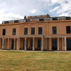
Moggerhanger House
2.9 km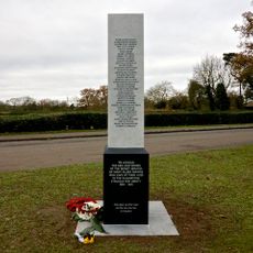
Tempsford Memorial
2.3 km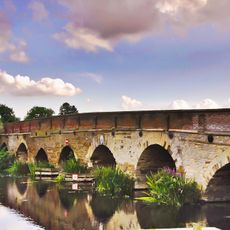
Great Barford Bridge
1.5 km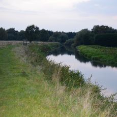
The Riddy
3 km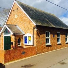
Renhold Chapel
4.9 km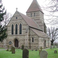
Parish Church of St John the Evangelist
2 km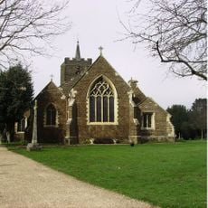
Church of St Swithun, Sandy
3.3 km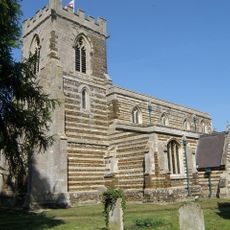
Church of St Peter
2.2 km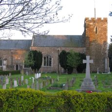
Parish Church of Saint Mary Magdalen
3.4 km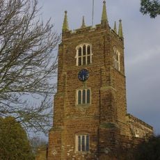
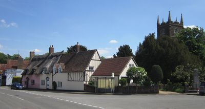
Parish Church of St Edmund Or St James
401 m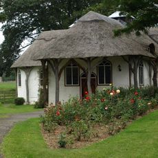
Congregational Chapel
3.3 km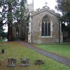
Church of All Saints, Great Barford
1.6 km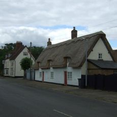
36 and 38, Church Street (Church End)
2.3 km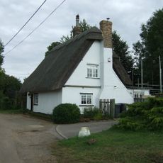
4, Mill Lane (Church End)
2.2 km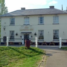
The Anchor Public House
1.6 km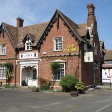
The Old Anchor
3.1 km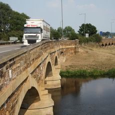
Tempsford Bridge And Flanking Flood Bridges
3.6 km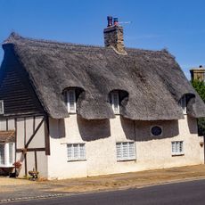
Shoe Cottage
359 m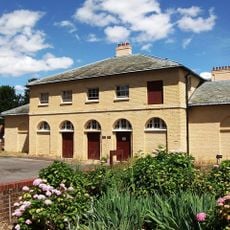
Former principal stable block of Moggerhanger House
2.9 km
K6 Telephone Kiosk Adjacent To Number 32
2.2 km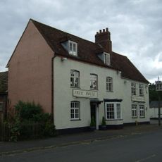
The Wheatsheaf
2.3 km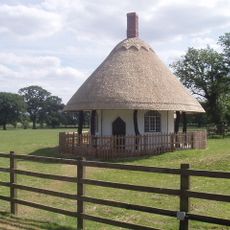
Roxton House Lodge
3.2 km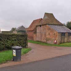
Dovecote At Biggin Farm
3.6 km
81, Station Road(Langford End)
3.3 km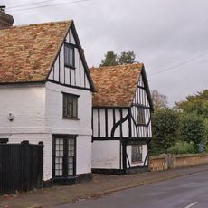
Gannocks
2.2 km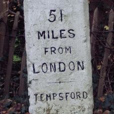
Milestone, Old Great North Road, Tempsford
2.5 km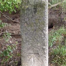
Milestone, Beeston, by slip road onto A428
3.1 km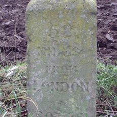
Milestone, Great North Road, Roxton, set back from A1 layby
3.8 kmVisited this place? Tap the stars to rate it and share your experience / photos with the community! Try now! You can cancel it anytime.
Discover hidden gems everywhere you go!
From secret cafés to breathtaking viewpoints, skip the crowded tourist spots and find places that match your style. Our app makes it easy with voice search, smart filtering, route optimization, and insider tips from travelers worldwide. Download now for the complete mobile experience.

A unique approach to discovering new places❞
— Le Figaro
All the places worth exploring❞
— France Info
A tailor-made excursion in just a few clicks❞
— 20 Minutes