River Wear, Significant river in County Durham and Sunderland, England
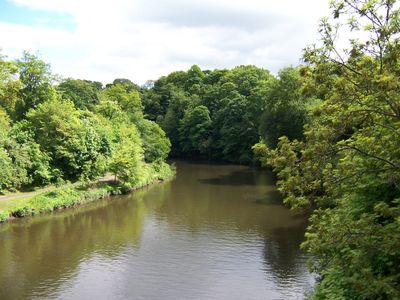
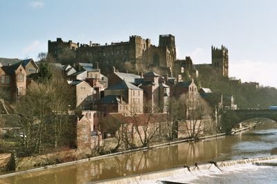
The River Wear flows eastward from the Pennine hills, cutting through Durham before reaching the North Sea near Sunderland. At Durham, the river makes a tight loop where the cathedral and castle sit perched on the surrounding high ground.
The river took its present shape after the last Ice Age, when glacial deposits reshaped the valleys and created new water paths. This geological development later provided an ideal setting for settlement and the building of major structures in Durham.
Durham Cathedral and Castle rise on a river bend above the water, shaping how the city is experienced and remembered. This dramatic setting has influenced how people view the place and live within it for centuries.
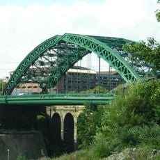
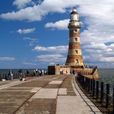
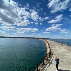
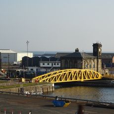
Walking paths and bridges including Framwellgate Bridge and Sunderland Bridge connect different points along the river. These routes make it easy to explore the water and surrounding landscape at your own pace.
The Weardale Granite beneath the river's headwaters contains fluorspar deposits that powered steel production in the 1800s. These mineral reserves were the reason many mills and factories grew up along the water.
The community of curious travelers
AroundUs brings together thousands of curated places, local tips, and hidden gems, enriched daily by 60,000 contributors worldwide.