Fotheringhay Castle, Medieval castle ruins in Fotheringhay, England.
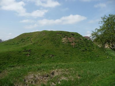
Fotheringhay Castle is a medieval fortress in Fotheringhay, England, where earthen mounds and stone fragments mark the footprint of what once stood here. The raised central mound rises above the flat river meadows, enclosed by deep dry ditches that once formed the outer defensive ring.
Norman lords built the fortress around 1100 to control the crossing of the River Nene after the conquest of England. King Edward III transformed it into a ducal residence during the 14th century, and Mary Queen of Scots was executed here in 1587.
The castle grounds contain interpretive panels that explain the medieval military architecture and the role of Norman fortifications in controlling English territories.
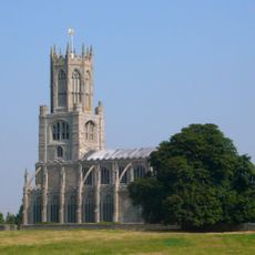
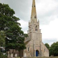
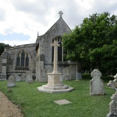
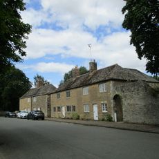
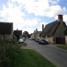
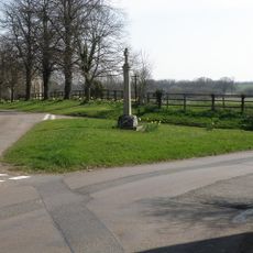
A public footpath leads from St Mary and All Saints Church through the meadows to the ruins, which are freely accessible at any time. The grass path can become muddy after rain, so sturdy footwear is recommended for the short walk.
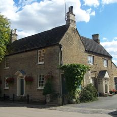
The central tower carried the name Fetterlock, taken from the heraldic badge of the Plantagenet dukes showing a horseshoe padlock with chain. King Charles I ordered the stone structures dismantled in 1628 to settle debts, and local builders reused the material for new houses in the village.
The community of curious travelers
AroundUs brings together thousands of curated places, local tips, and hidden gems, enriched daily by 60,000 contributors worldwide.