Toxteth, Inner suburb in Liverpool, England
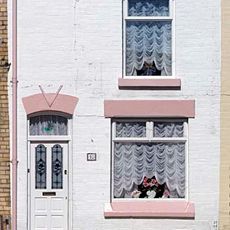
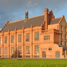
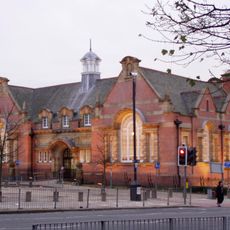
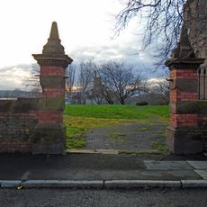
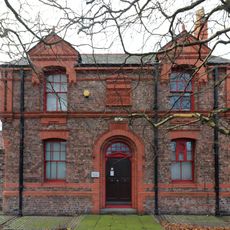
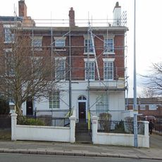
Toxteth is an inner suburb in Liverpool, England, formed by residential streets lined with Victorian brick houses, newer developments and two large green spaces: Sefton Park with its lakes and Princes Park with open lawns. The roads run in a grid pattern between the city center and the River Mersey, with wide main roads connecting smaller residential lanes.
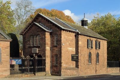
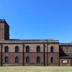
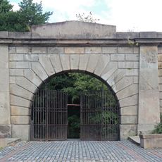
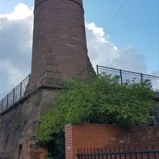
The area served as a royal hunting ground in the 11th century before becoming a densely built working-class district during Liverpool's industrial expansion in the 19th century. The so-called Welsh Streets were built at that time to house the growing number of dockworkers and tradespeople.
The area serves as a living meeting point for different communities, whose markets and shops offer goods from the Caribbean, South Asia and Africa. On weekends the streets fill with residents eating in small restaurants or shopping in stores run by the same families for decades.
Several bus lines connect the area to Liverpool's center in under 20 minutes, and both parks offer entrances at different points. Those walking will find shops, cafés and public facilities along the main roads.
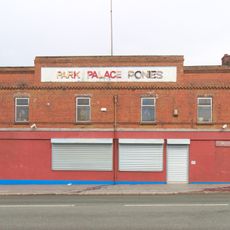
Lodge Lane gathers on a short stretch shops selling Caribbean spices next to Pakistani textile traders and traditional English butchers. Some stores have existed since the 1960s and keep their original fittings with wooden shelves and handwritten signs.
The community of curious travelers
AroundUs brings together thousands of curated places, local tips, and hidden gems, enriched daily by 60,000 contributors worldwide.