Lytham St Annes, Coastal town in Fylde, England
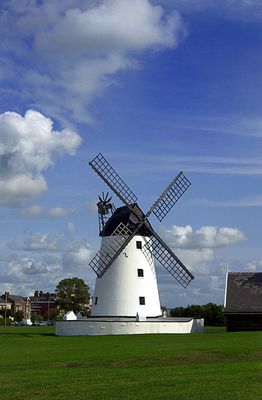
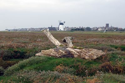
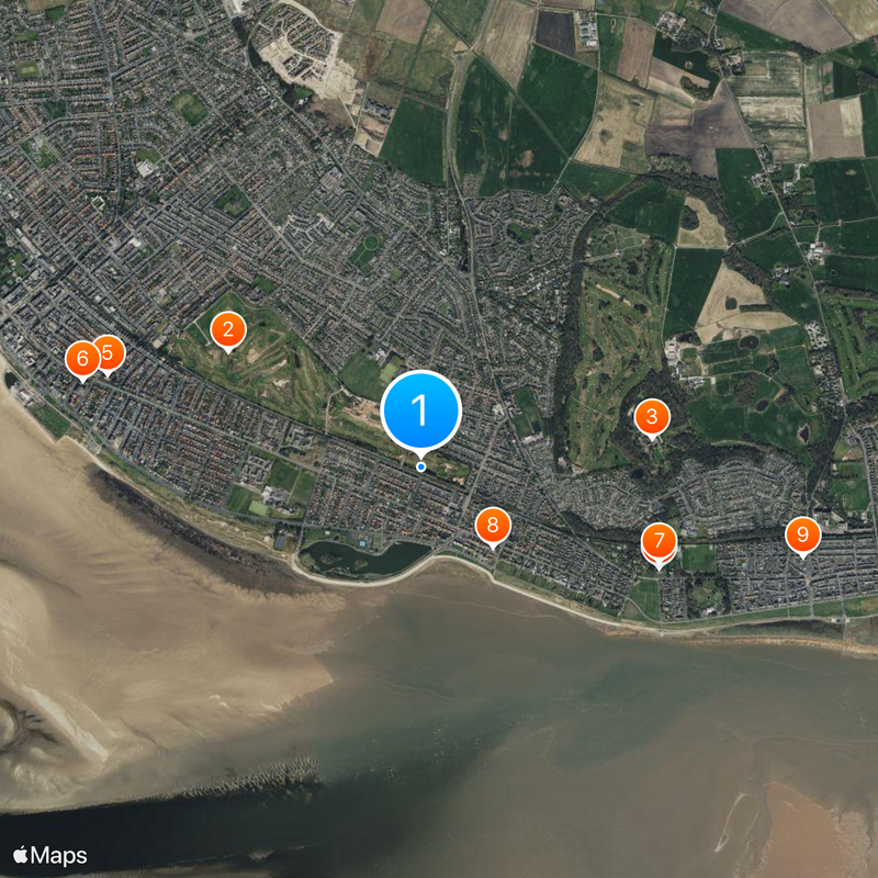
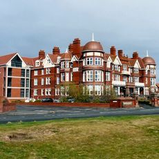
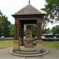
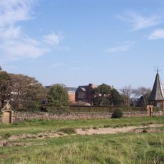
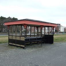
Lytham St Annes is a coastal town on the southern Fylde peninsula between the Ribble and Wyre estuaries. The settlement runs along several kilometers of the Irish Sea shoreline and takes in sandy beaches, a wooden pier structure, man-made lakes and open parkland.
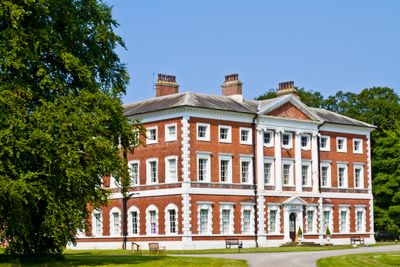
The town came into being when two settlements merged in 1922 after St Annes was laid out as a planned resort during the 1870s. Lytham itself traces back to an early medieval settlement and grew into a refined residential area during the Victorian era.
The place unites twin seaside identities which merged as neighboring towns yet kept separate stations, parks and shopping districts. Visitors today move between piers, greens and waterfronts that evolved under separate ownership for decades before becoming one administration.
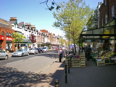
The seafront can be reached on foot or by bicycle across the town center and offers flat paths for walks along the promenade. Most beaches, parks and shopping areas lie within a short walk from the railway station.
One neighborhood carries the name of a painter: Ansdell was named after Richard Ansdell, who lived in the area during the 19th century. This makes it the only settlement in England named after an artist.
Location: Fylde
Website: http://fylde.gov.uk
GPS coordinates: 53.74260,-2.99700
Latest update: December 5, 2025 06:40
Royal Lytham & St Annes Golf Club
1.3 km
Lytham Hall
1.4 km
St Cuthbert's Church, Lytham
1.5 km
St Thomas' Church, St Anne's-on-the-Sea
1.9 km
St Anne's Library
2 km
Lifeboat Memorial, Lytham
1.5 km
Fairhaven United Reformed Church
613 m
Lytham Methodist Church
2.3 km
Roman Catholic Church of St Joseph
548 m
Ansdell Baptist Church
648 m
Grand Hotel With Front Garden Wall
2 km
Clifton Memorial Fountain Between Station Square And Ballam Road
2.2 km
Lytham War Memorial
2.2 km
Former Estate Office With Attached Screen Walls
2.1 km
Estate Boundary Wall To South And West Of Lytham Hall, With Gateway At Hey Houses
862 m
Summerhouse In South Boundary Wall Of Garden Of Fairlawn (Not Included)
1.3 km
Former St Annes College Of Further Education
2 km
South Boundary Wall To Fairlawn (Not Included) And Its West Continuation To Fosbrooke House
1.2 km
Main Lodges And Entrance Gates To Lytham Hall And Attached Boundary Wall To North East
2.2 km
Ansdell Institute
312 m
Dovecote To North West Of Lytham Hall (In Woods Behind Stables)
1.3 km
Market Hall And Lloyds Bank
2.2 km
Victory/Parish Hall
1.5 km
Sundial Approximately 3 Metres South East Of Porch Of Church Of St Cuthbert
1.5 km
Promenade Shelter Opposite Lowther Pavilion
1.9 km
Queen Mary School
938 m
Milestone, Blackpool Road, Ansdell; by No. 9
779 m
Milestone, Heyhouses Lane; by No. 242
1.3 kmReviews
Visited this place? Tap the stars to rate it and share your experience / photos with the community! Try now! You can cancel it anytime.
Discover hidden gems everywhere you go!
From secret cafés to breathtaking viewpoints, skip the crowded tourist spots and find places that match your style. Our app makes it easy with voice search, smart filtering, route optimization, and insider tips from travelers worldwide. Download now for the complete mobile experience.
A unique approach to discovering new places❞
— Le Figaro
All the places worth exploring❞
— France Info
A tailor-made excursion in just a few clicks❞
— 20 Minutes