London Docks, Historic port complex in Tower Hamlets, United Kingdom
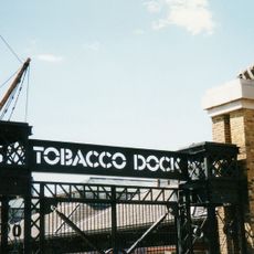
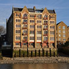
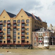
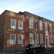
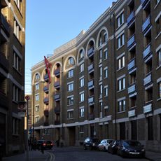
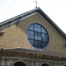
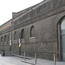
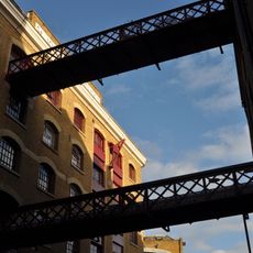
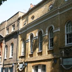
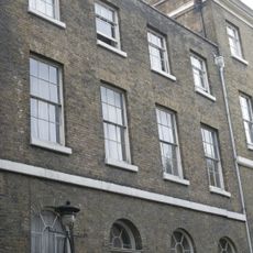
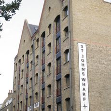
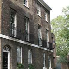
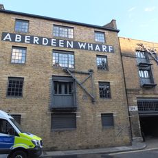
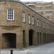
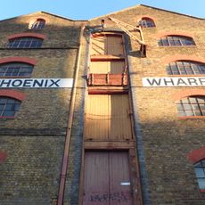
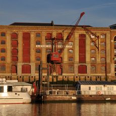
London Docks is a former port complex in eastern London with multiple waterside basins and dock areas stretching along the Thames. The site preserves Victorian warehouses and original port structures now converted to apartments and offices alongside contemporary buildings.
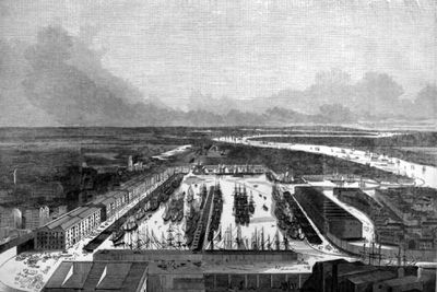
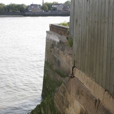
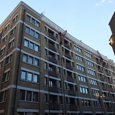
Construction began in 1802 with the West India Docks, growing into one of the world's largest port systems by the 1800s. The area declined as shipping moved elsewhere, then was redeveloped into a mixed residential and commercial district.
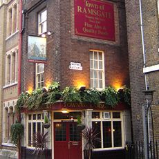
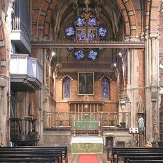
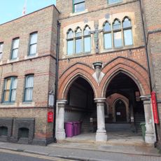
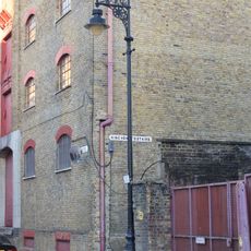
The docks shaped a working community whose daily life centered on handling goods from around the world. You can still see this heritage in the waterfront streets and the way locals and visitors now move through these once-industrial spaces.
The Docklands Light Railway offers easy access with multiple stations throughout the district for convenient navigation. The site is mostly flat and walkable with paths running along the water, making it straightforward to explore at your own pace.
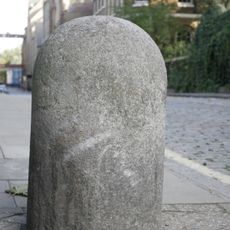
Original dock equipment such as loading cranes and quay structures remain visible and have been integrated into the new development. These features serve as daily reminders of the engineering and skill that earlier generations of port workers relied on.
Location: London Borough of Tower Hamlets
GPS coordinates: 51.50600,-0.06033
Latest update: December 7, 2025 19:24
Tobacco Dock
263 m
Town of Ramsgate
317 m
St John's Church
225 m
St Peter's, London Docks
152 m
Oliver's Wharf
316 m
Captain Kidd
332 m
Raine's House
176 m
Gun Wharves
357 m
Church of St Patrick ( Roman Catholic)
223 m
Wapping Police Station
337 m
Pennington Street Warehouses (Including Former Canteen And Vaults Below)
349 m
4 Bollards (1 Outside No 4 Wapping Pier Head, 3 On Opposite Side Of Wapping High Street Flanking The Entrance To Hermitage Wall)
325 m
St John's Wharves Warehouses North Block (Oddbin's Limited)
287 m
Wapping Old Stairs (Stairs And Flagged Passage From Wapping High Street)
345 m
St John's Schools
260 m
Stone Bollards Outside Town Of Ramsgate Public House And No 10 Wapping Pier Head
308 m
11 Wapping High Street and area railings
310 m
A And E Warehouses,St John's Warves
324 m
Clergy House Of St Peter's Church
130 m
12-14, Wapping Pier Head E1
291 m
Lamp Standard At King Henry's Stairs
331 m
Old Aberdeen Wharf
336 m
E,F And G Warehouse Block, Gun Wharves
318 m
Warehouse On Corner Of Brewhouse Lane
310 m
K Warehouse, St Johns Wharf
342 m
A,B,C And D Warehouse, King Henry's Wharves
348 m
4 1/2, Wapping Pier Head E1
337 m
Iron Railings (Includng Lamp Brackets) To Nos 1 To 10 And On Both Sides Of Former Swing Bridge To Wapping Basin
321 mVisited this place? Tap the stars to rate it and share your experience / photos with the community! Try now! You can cancel it anytime.
Discover hidden gems everywhere you go!
From secret cafés to breathtaking viewpoints, skip the crowded tourist spots and find places that match your style. Our app makes it easy with voice search, smart filtering, route optimization, and insider tips from travelers worldwide. Download now for the complete mobile experience.
A unique approach to discovering new places❞
— Le Figaro
All the places worth exploring❞
— France Info
A tailor-made excursion in just a few clicks❞
— 20 Minutes