Pembrokeshire Coast Path, National Trail in Pembrokeshire, Wales.
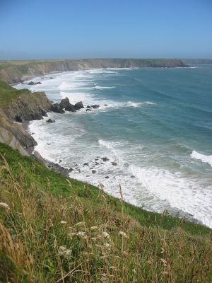
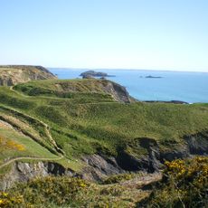
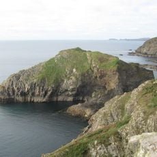
The Pembrokeshire Coast Path is a National Trail that runs along the coastline for nearly 300 kilometers from St Dogmaels to Amroth, passing through limestone cliffs, sandy beaches, and sheltered coves. The route is divided into sections that can be walked independently, each offering different coastal views and terrain.
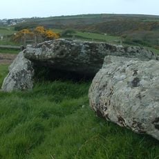
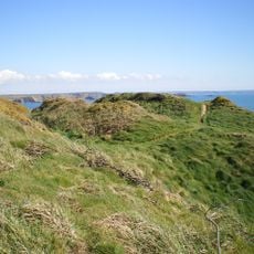
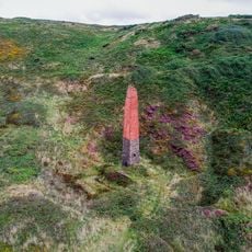
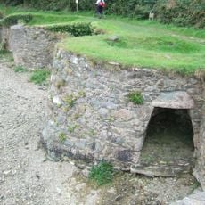
The coastal stretch reveals evidence of human settlement from Neolithic times, including Iron Age forts and ancient Celtic churches scattered along the path. These monuments tell the story of millennia of people living on this coastline.
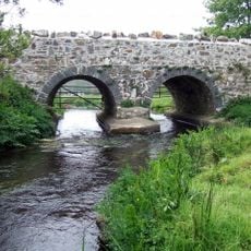
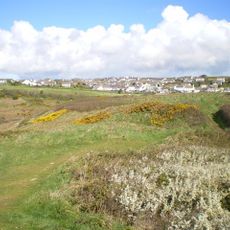
The path passes through villages where local life follows rhythms connected to the sea and the seasons, with Welsh place names and language visible throughout. The landscape itself shapes how communities here see themselves and their relationship to the coast.
The path is accessible year-round, though spring through autumn offers the most favorable conditions with more stable weather and longer daylight hours. Planning accommodation in advance is wise, as rooms fill quickly during summer, and splitting the walk into shorter stages is easier than attempting the whole route at once.
The route passes by more than 50 beaches, and the sea is visible from nearly every point along the way, which is unusual for such a long coastal path. This constant proximity to the water means you experience the shifting tides and changing moods of the sea throughout your walk.
The community of curious travelers
AroundUs brings together thousands of curated places, local tips, and hidden gems, enriched daily by 60,000 contributors worldwide.