
Silverdale, village and civil parish in Staffordshire, England
Location: Newcastle-under-Lyme
GPS coordinates: 53.01590,-2.26750
Latest update: March 7, 2025 00:22

Keele Hall
1.8 km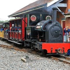
Moseley Railway Trust
1.9 km
Apedale Community Country Park
1.8 km
Newcastle-under-Lyme Guildhall
2.8 km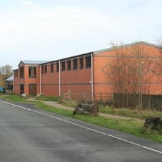
Apedale Heritage Centre
1.8 km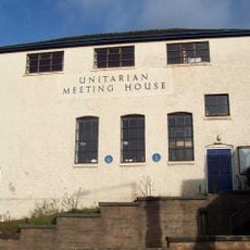
Old Unitarian Meeting House
2.5 km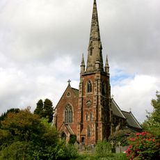
Church of St John the Baptist
1.8 km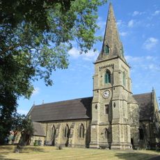
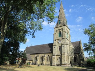
Church of St Luke, Silverdale
409 m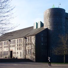
Keele University Chapel
1.6 km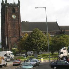
Church of St Giles
2.6 km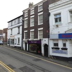
3 and 5, Church Street
2.6 km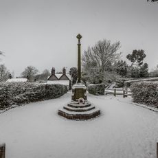
Keele War Memorial
1.8 km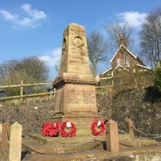
Alsagers Bank War Memorial
2.9 km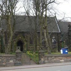
St. Mary's Church
1.3 km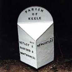
Milepost At Ngr Sj 8062 4542
1.9 km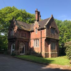
Newcastle Lodge
976 m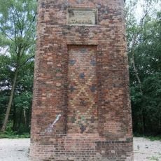
Remains of chimney
2.3 km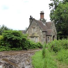
Lymes Lodge
2.5 km
Market Cross
2.8 km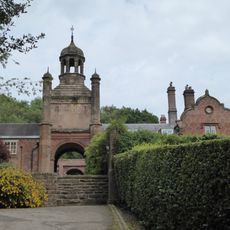
The Clock House
1.9 km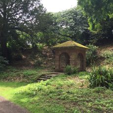
Well House About 70 Metres South East Of Keele Hall
1.8 km
25, Ironmarket
2.8 km
Old Orme Boys' Primary School
2.5 km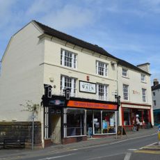
26, High Street
2.6 km
Carlton House
2.6 km
51, High Street
2.8 km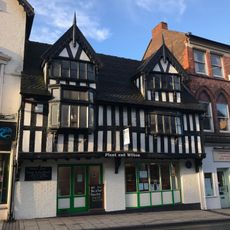
14 And 16, High Street
2.6 km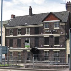
Maxims Wine Bar
2.5 kmReviews
Visited this place? Tap the stars to rate it and share your experience / photos with the community! Try now! You can cancel it anytime.
Discover hidden gems everywhere you go!
From secret cafés to breathtaking viewpoints, skip the crowded tourist spots and find places that match your style. Our app makes it easy with voice search, smart filtering, route optimization, and insider tips from travelers worldwide. Download now for the complete mobile experience.

A unique approach to discovering new places❞
— Le Figaro
All the places worth exploring❞
— France Info
A tailor-made excursion in just a few clicks❞
— 20 Minutes