Woburn, village and civil parish in Bedfordshire, England
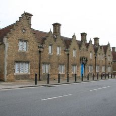
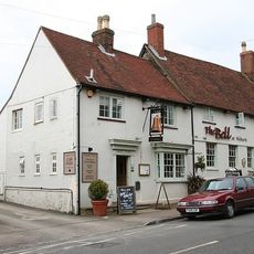
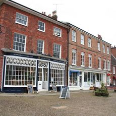
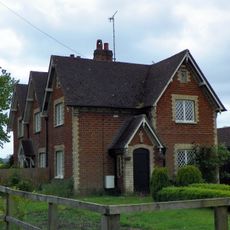
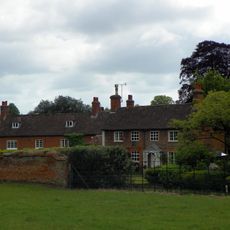
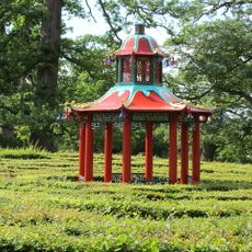
Woburn is a small town in central Bedfordshire with a rich historical legacy, with many buildings hundreds of years old. The streets are narrow and lined with shops, pubs, and houses that reflect an earlier way of life.
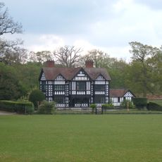
Woburn emerged as a settlement and became important when a Cistercian monastery was founded in the 12th century, bringing activity and trade. The town was also part of a larger estate owned by the Bedford family, shaping its development for centuries.
The name Woburn comes from old words meaning twisting stream, reflecting how the landscape has been known for centuries. The town kept its tradition as a market gathering place, and this spirit of community remains visible today in how locals meet for events and celebrations.
The town is easy to explore on foot, with narrow streets suited to walking that give a clear sense of the layout. Visitors should know that Woburn is a quiet, traditional place, so shops and services are limited, making some planning ahead worthwhile.
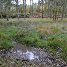
The land is made up of sandy soil from ancient seas that covered the area millions of years ago, shaping the landscape's foundation. This geological feature once enabled the extraction of valuable materials and helped shape how the town developed.
The community of curious travelers
AroundUs brings together thousands of curated places, local tips, and hidden gems, enriched daily by 60,000 contributors worldwide.