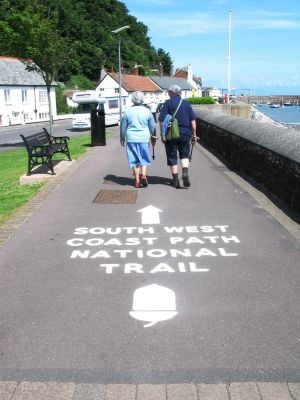
South West Coast Path, National Trail along the southwest coast of England
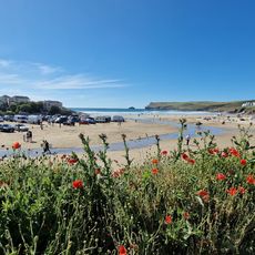
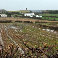
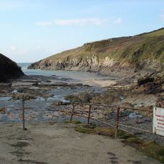
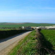
The South West Coast Path is a long-distance hiking trail along the southwestern peninsula of England, stretching through Somerset, Devon, Cornwall, and Dorset for roughly 1015 kilometers (630 miles). The route runs mostly over clifftops and alternates between open grasslands, sheer slate cliffs, and sandy coves.
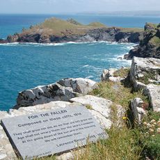
Coastguards once used these paths to track down smugglers landing goods in hidden coves. The final section gained official National Trail status in 1978.
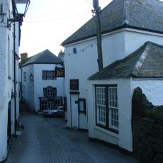
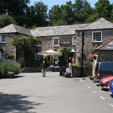
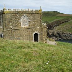
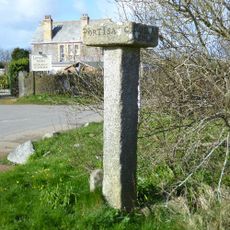
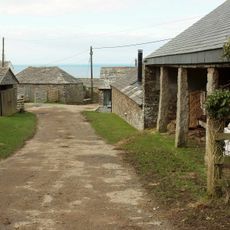
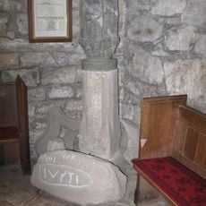
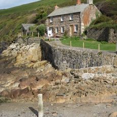
The route passes through fishing villages where harbors with small boats and local pubs sit alongside pebble beaches. At many sections, old customs houses and stone markers show how the trail once served to monitor the coastline.
Anyone wanting to walk the entire trail should plan for 30 to 56 days, depending on pace and rest stops. Many towns with accommodations and public transport connections make it possible to hike individual sections separately.
Anyone completing the full route climbs a cumulative elevation of around 35,000 meters (115,000 feet), equivalent to scaling Mount Everest four times. This makes it the most elevation-intensive long-distance trail in England.
Operator: National Trails
Part of: England Coast Path
Website: http://wiki.openstreetmap.org/wiki/South_West_Coast_Path
GPS coordinates: 51.21368,-3.47276
Latest update: December 5, 2025 22:22
St Enodoc's Church, Trebetherick
125.2 km
The Rumps
122.9 km
Golden Lion Inn
117.8 km
Polzeath Beach
123.8 km
Church of St Endelienta
119 km
Church of St Menefreda
122.6 km
Church of St Michael
125.8 km
Church of St James
118.1 km
St Kew Inn
118 km
Old Methodist Chapel 15 Metres North East Of Chapel Amble Methodist Church
120.8 km
Doyden Castle
120.4 km
Tresungers
117.9 km
The Mouls
122.3 km
Porthilly Greys
125.7 km
The Long Cross, an early Christian memorial stone and medieval wayside cross, and a post-medieval guide post 400m north of Treli
119 km
Trewornan Bridge
122.4 km
Barn With Waterwheel And Attached Row Of Shippons Or Stables To North East Of Tregardock Farmhouse
112 km
Carlyon Farmhouse And Barn Adjoining On Right
124.4 km
Job's Cross, medieval wayside cross 500m north east of Trewethern
119 km
Garden Walls Immediately To South, South East And East Of Tresungers And Flight Of Steps Up To Terrace On East
117.9 km
Trevelver
124.2 km
Slip And Retaining Wall On South And East Side Of Beach
120.1 km
Chapel Amble Cross in St Kew churchyard
118.1 km
Pentire Head, Poem For the Fallen Memorial
123.9 km
Roscarrock
118.9 km
Footbridge At Ford 150 Metres To South Of Barton Farmhouse
118.2 km
Guidestone, Trelights, Longcross crossroads, opp Long Cross Hotel
119 km
Quay Cottage
120.1 kmReviews
Visited this place? Tap the stars to rate it and share your experience / photos with the community! Try now! You can cancel it anytime.
Discover hidden gems everywhere you go!
From secret cafés to breathtaking viewpoints, skip the crowded tourist spots and find places that match your style. Our app makes it easy with voice search, smart filtering, route optimization, and insider tips from travelers worldwide. Download now for the complete mobile experience.
A unique approach to discovering new places❞
— Le Figaro
All the places worth exploring❞
— France Info
A tailor-made excursion in just a few clicks❞
— 20 Minutes