
Babraham, village and civil parish in the South Cambridgeshire district of Cambridgeshire, England
Location: South Cambridgeshire
Website: https://babraham-village.net
GPS coordinates: 52.12000,0.20000
Latest update: March 8, 2025 04:11
Gog Magog Hills
5.2 km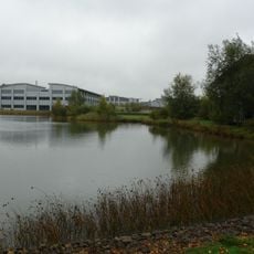
Granta Park
1.6 km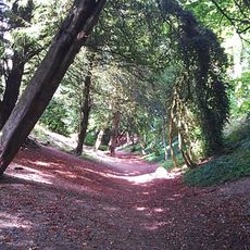
Wandlebury Hill Fort
4.5 km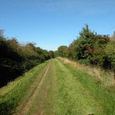
Roman Road, Cambridgeshire
3.4 km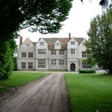
Sawston Hall
1.9 km
Sawston Hall Meadows
1.6 km
Gog Magog Golf Course
5.3 km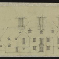
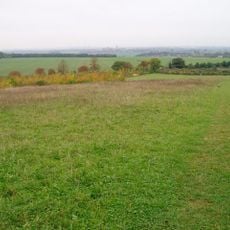
Middlefield
4.6 km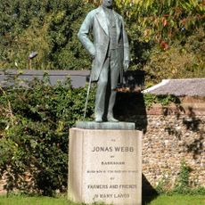
Statue of Jonas Webb
1.3 km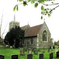
Parish Church of St John the Baptist
1.3 km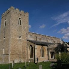
Parish Church of St Peter
1.4 km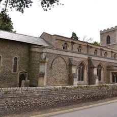
Parish Church of St Mary
2 km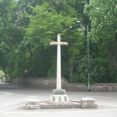
Sawston War Memorial (At Junction with Church Lane)
2.1 km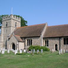
Parish Church of St Mary the Virgin
2.2 km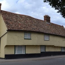
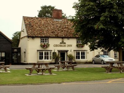
Queen's Head Inn
2.1 km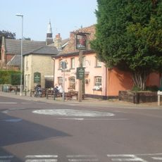
Kings Head Public House
2.1 km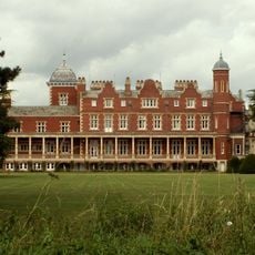
Babraham Hall
1.5 km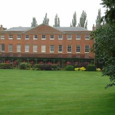
Abington Hall British Welding Research Association
2 km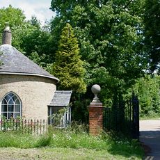
The Lodge
4.4 km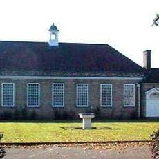
Sawston Village College
2.6 km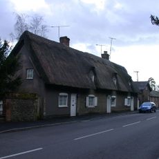
39 And 41, High Street
1.3 km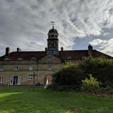
Stables, Coach House And Service Block
4.4 km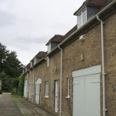
South Stable Block
4.4 km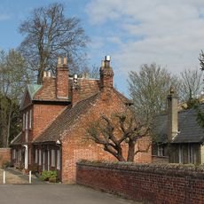
The Almshouses The School House
1.4 km
Bowl barrow on Copley Hill
4 km
Worstead Street (Via Devana) near Cambridge
3.6 km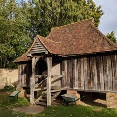
Granary At Wandlebury Camp
4.4 km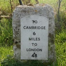
Milestone, Cambridge Road, opposite radio mast
2.9 kmVisited this place? Tap the stars to rate it and share your experience / photos with the community! Try now! You can cancel it anytime.
Discover hidden gems everywhere you go!
From secret cafés to breathtaking viewpoints, skip the crowded tourist spots and find places that match your style. Our app makes it easy with voice search, smart filtering, route optimization, and insider tips from travelers worldwide. Download now for the complete mobile experience.

A unique approach to discovering new places❞
— Le Figaro
All the places worth exploring❞
— France Info
A tailor-made excursion in just a few clicks❞
— 20 Minutes