
Advent, civil parish in Cornwall, England
Location: Cornwall
Shares border with: St Breward, Camelford, Michaelstow, Davidstow
GPS coordinates: 50.60300,-4.67900
Latest update: March 3, 2025 08:16
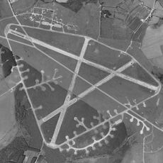
RAF Davidstow Moor
5.6 km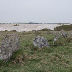
Stannon stone circle
2.5 km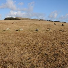
Fernacre
4.3 km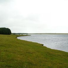
Crowdy Reservoir
4.5 km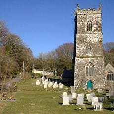
Church of St Julitta, Lanteglos
1.9 km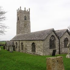
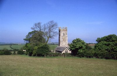
Church of St Adwen
60 m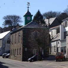
Camelford Library
2.2 km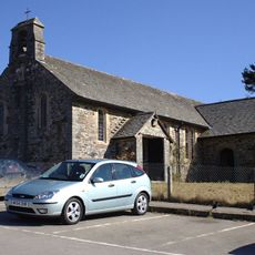
St Thomas of Canterbury's Church, Camelford
2.3 km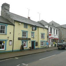
The Masons Arms
2.2 km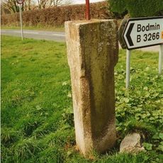
Guidepost At Junction Of A39T And B3266
1.1 km
The Middle Moor Cross, 230m north-east of Camperdown Farm
3 km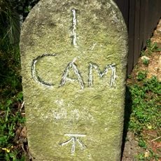
Milestone 30 Metres To South East Of Argille House
1.1 km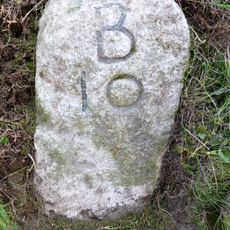
Milestone 40 Metres To North East Of Worthy Acre Cottage
869 m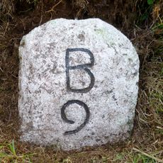
Milestone 650 Metres To South West Of Trecarne
2 km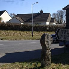
The Trevia Cross, at Sportsmans
1.9 km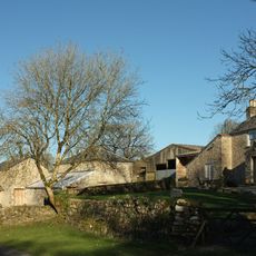
Trewint
812 m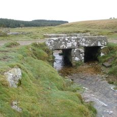
Foot bridge 900 metres to south east of Roughtor Farm
3.4 km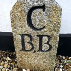
Borough Boundary Stone To West Of No 2 Manor Farm
2.3 km
Culloden
2.3 km
Trethin
367 m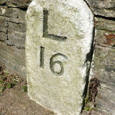
Milestone To South Of No 35
2.4 km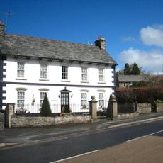
Manor Farm
2.3 km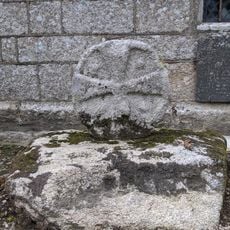
Three wayside crosses in St Julitta's churchyard
1.9 km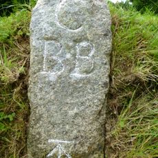
Borough Boundary Stone To North 24 Roughtor Road
2.3 km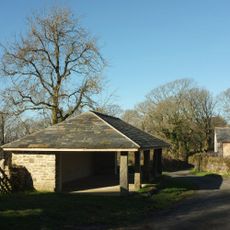
Farmbuildings Including Granary, Barn And Shippons 20 Metres To North West Of Trewint Farmhouse
788 m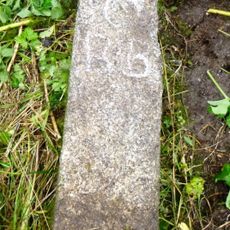
Borough Boundary Stone 30 Metres To North East Of Sewage Works
1.8 km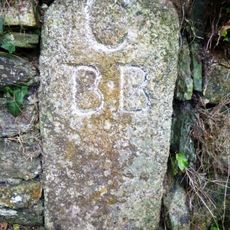
Borough Boundary Stone To North Of Beech House, Lane End
2.5 km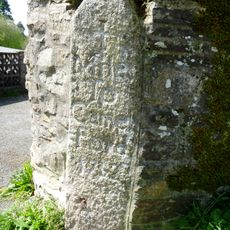
Milestone, Middle Warren, Trefrew Road
2.4 kmVisited this place? Tap the stars to rate it and share your experience / photos with the community! Try now! You can cancel it anytime.
Discover hidden gems everywhere you go!
From secret cafés to breathtaking viewpoints, skip the crowded tourist spots and find places that match your style. Our app makes it easy with voice search, smart filtering, route optimization, and insider tips from travelers worldwide. Download now for the complete mobile experience.

A unique approach to discovering new places❞
— Le Figaro
All the places worth exploring❞
— France Info
A tailor-made excursion in just a few clicks❞
— 20 Minutes