
Throwleigh, village and civil parish in Devon, UK
Location: West Devon
Elevation above the sea: 243 m
GPS coordinates: 50.70000,-3.88333
Latest update: March 28, 2025 14:43
Scorhill
3.6 km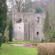
Gidleigh Castle
2.2 km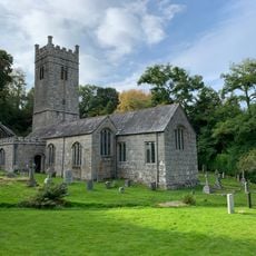
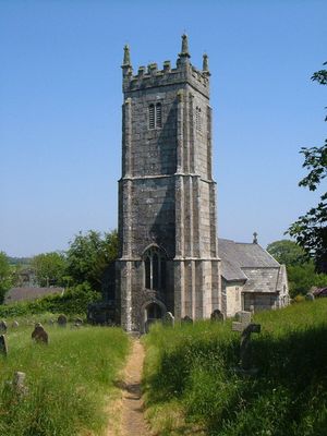
Church of the Holy Trinity
2.2 km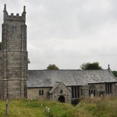
Church of St Mary the Virgin
356 m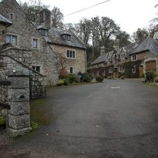
Holystreet Manor
3.3 km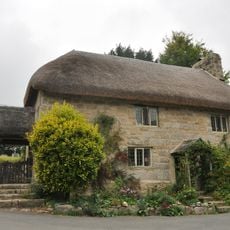
Church House
337 m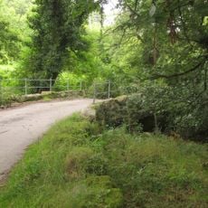
Forder Bridge
995 m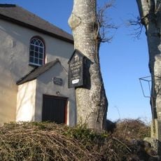
Providence Methodist Chapel
1.4 km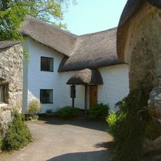
South Forder Farmhouse
1.1 km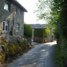
Haycroft Cottage
2.8 km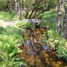
Footbridge At Sx 664 895
1.3 km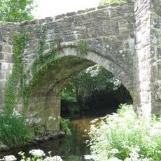
Chagford Bridge
3.5 km
Clannaborough Farmhouse Including Garden Walls
1.1 km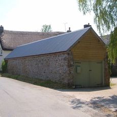
East Ash Manor Including Garden Wall Adjoining To South East
1.1 km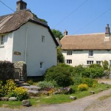
Langston Farmhouse North Including Garden Wall Adjoining To Front
555 m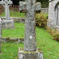
Sampson Headstone Approximately 2 Metres South-East Of Vestry Of Church Of The Holy Trinity
2.2 km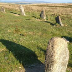
Stone circle and cairn 330m south of Little Hound Tor
4 km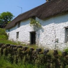
North Forder Farmhouse
1 km
Langston Farmhouse (South) Including Garden Walls Adjoining To Front
582 m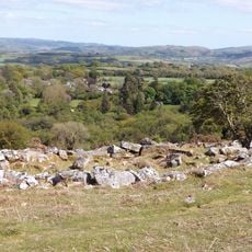
Coaxial field system, associated and later remains at Throwleigh Common and Kennon Hill
1.7 km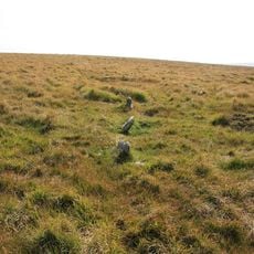
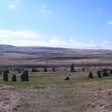
Stone circle 400m south west of Buttern Hill
3 km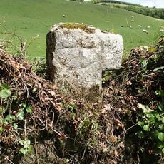
Cross Fragment At Sx 678891
1.7 km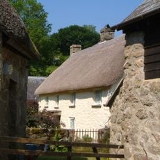
Gidleigh Mill
1.9 km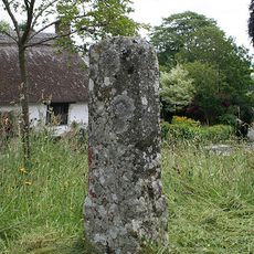
Fragment Of Cross Shaft Approximately 4 Metres East Of Chancel Of Church Of St Mary
337 m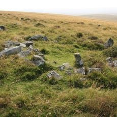
A partly enclosed stone hut circle settlement on Kennon Hill
3.3 km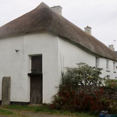
Throwleigh Barton
262 m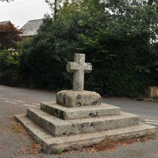
Village Cross
270 m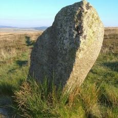
White Moor Stone
3.9 kmVisited this place? Tap the stars to rate it and share your experience / photos with the community! Try now! You can cancel it anytime.
Discover hidden gems everywhere you go!
From secret cafés to breathtaking viewpoints, skip the crowded tourist spots and find places that match your style. Our app makes it easy with voice search, smart filtering, route optimization, and insider tips from travelers worldwide. Download now for the complete mobile experience.

A unique approach to discovering new places❞
— Le Figaro
All the places worth exploring❞
— France Info
A tailor-made excursion in just a few clicks❞
— 20 Minutes