
Cottenham, village in Cambridgeshire, England
Location: South Cambridgeshire
GPS coordinates: 52.28650,0.12440
Latest update: March 11, 2025 12:26
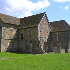
Denny Abbey
4.3 km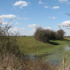
Belsar's Hill
3.9 km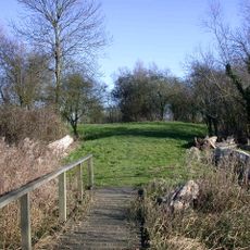
Rampton Castle
2 km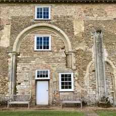
Denny Abbey & The Farmland Museum
4.3 km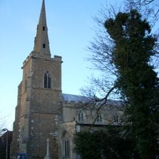
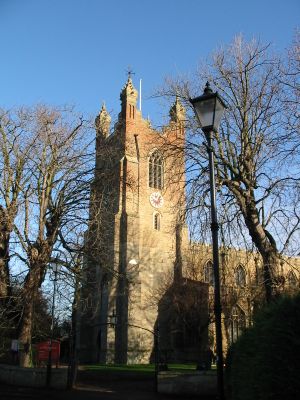
Parish Church of All Saints
3.4 km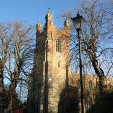
Church of All Saints
1.2 km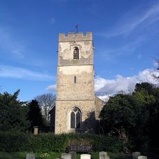
Church of All Saints
2.2 km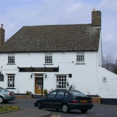
Chequers Public House
140 m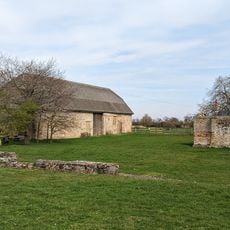
Denny Abbey Refectory
4.3 km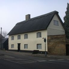
Pond Farmhouse
603 m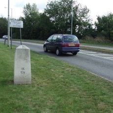
Milestone Half Mile North Of Goose Hall At Ngr 485 679
3.5 km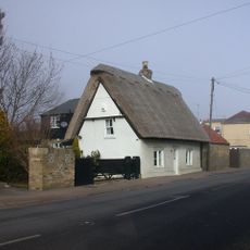
White Cottage
821 m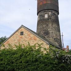
Tower Mill
594 m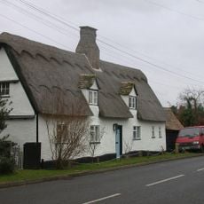
Glebe Cottage
3.8 km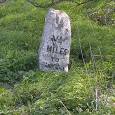
Milestone Half Mile South Of Green End Junction And Goose Hall At Ngr 484 664
3.6 km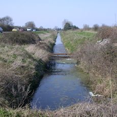
Length of Car Dyke between Green End and Top Moor
2.9 km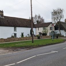
The Limes
413 m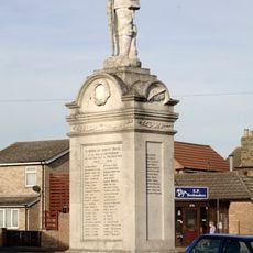
Cottenham War Memorial
152 m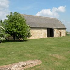
Barn To North Of Denny Abbey
4.4 km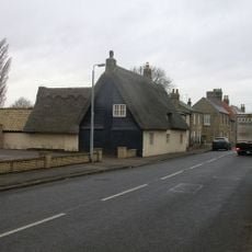
34, High Street
3.8 km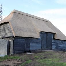
Tithe Barn The East Of Number 14 (The Old Rectory)
3.5 km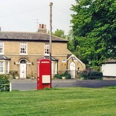
K6 Telephone Box
5 km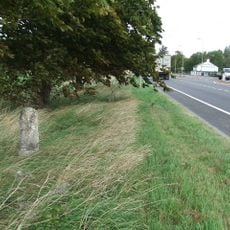
Milestone South Of Junction With Waterbeach Road At Ngr 487 649
4.6 km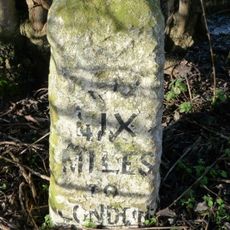
Milestone One And One Half Miles North Of Goose Hall At Ngr 492 693
4.6 km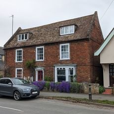
324, High Street
345 m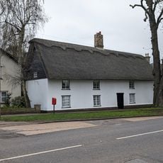
337 And 339, High Street
447 m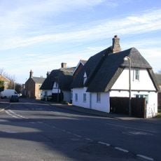
56, Denmark Road
310 m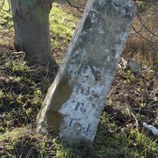
Milestone, N of entrance to School Farm, Chittering
6 kmReviews
Visited this place? Tap the stars to rate it and share your experience / photos with the community! Try now! You can cancel it anytime.
Discover hidden gems everywhere you go!
From secret cafés to breathtaking viewpoints, skip the crowded tourist spots and find places that match your style. Our app makes it easy with voice search, smart filtering, route optimization, and insider tips from travelers worldwide. Download now for the complete mobile experience.

A unique approach to discovering new places❞
— Le Figaro
All the places worth exploring❞
— France Info
A tailor-made excursion in just a few clicks❞
— 20 Minutes