
Stratfield Mortimer, village and civil parish in Berkshire, UK
Location: West Berkshire
Shares border with: Wokefield
GPS coordinates: 51.37300,-1.03700
Latest update: March 4, 2025 07:00
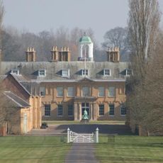
Stratfield Saye House
3.9 km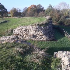
Calleva Atrebatum
3.6 km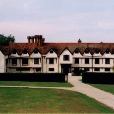
Ufton Court
5.2 km
The Frith
4.6 km
Calleva Atrebatum
3.6 km
Silchester House
4.8 km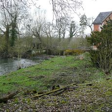
Stanford End Mill and River Loddon
3.6 km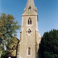
Church of St Peter
4.9 km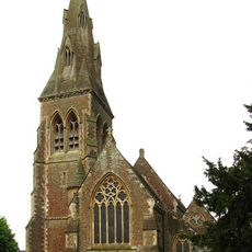
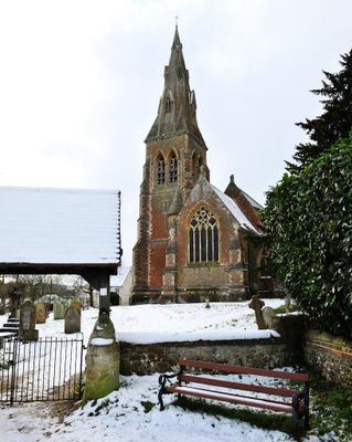
Church of St Mary Church of St Mary 66826410
323 m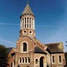
Church of St Mary the Virgin
4.2 km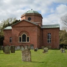
Church of St. Mary the Virgin, Stratfield Saye
3.7 km
Holy Trinity Church
3.9 km
Church of St Mary
4.6 km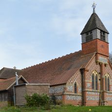
Church of St Mary the Virgin
2.7 km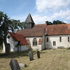
Church of St. Mary
3.3 km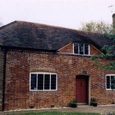
Countess Of Huntingdon's Chapel
5.5 km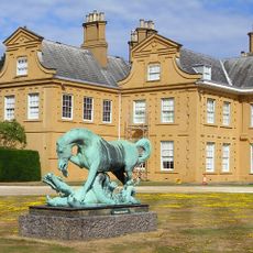
Statue of Horse and Dragon
3.9 km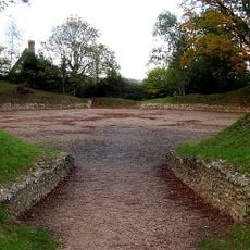
Silchester Amphitheatre
3.1 km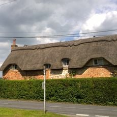
Dial Cottage
4.9 km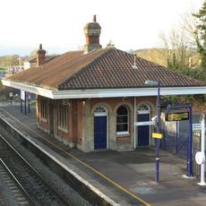
Mortimer Station
134 m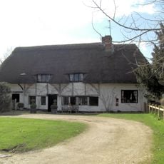
Church Cottage
4.5 km
St Benedict's School Wokefield Park Wokefield Park (st Benedict's School)
1.5 km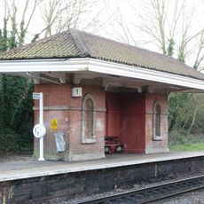
Waiting Room At Mortimer Station On South West Side Of Railway Line
151 m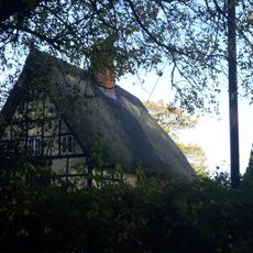
The Mount Farmhouse
3.1 km
The Late Iron Age oppidum and Roman town of Calleva Atrebatum and associated features
3.6 km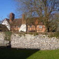
Old Manor Farmhouse
3.3 km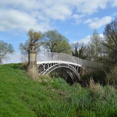
Bridge Over The River Loddon
4 km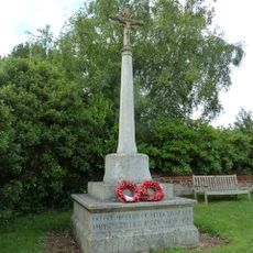
Mortimer West End War Memorial
3.8 kmVisited this place? Tap the stars to rate it and share your experience / photos with the community! Try now! You can cancel it anytime.
Discover hidden gems everywhere you go!
From secret cafés to breathtaking viewpoints, skip the crowded tourist spots and find places that match your style. Our app makes it easy with voice search, smart filtering, route optimization, and insider tips from travelers worldwide. Download now for the complete mobile experience.

A unique approach to discovering new places❞
— Le Figaro
All the places worth exploring❞
— France Info
A tailor-made excursion in just a few clicks❞
— 20 Minutes