
Kilburn, village and civil parish in Amber Valley, Derbyshire, England
Location: Amber Valley
Shares border with: Denby, Belper, Holbrook, Horsley, Horsley Woodhouse
GPS coordinates: 53.00557,-1.42544
Latest update: May 28, 2025 17:57

Horston Castle
2.6 km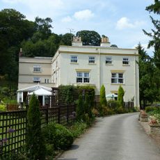
Coxbench Hall
2.6 km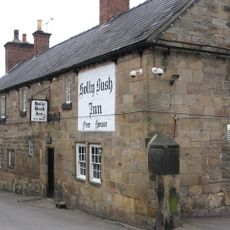
Holly Bush Inn, Makeney
3.6 km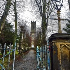
Parish Church of St Peter
4.2 km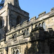
Church of St Mary
1.6 km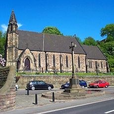
Church of the Holy Trinity
3.5 km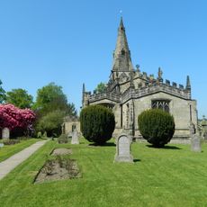
Church of St Clement, Horsley
1.5 km
Church of St Michael
2.4 km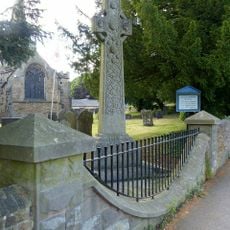
War Memorial to East of St Mary's Church
1.6 km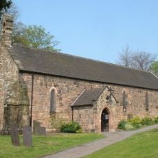
Church of St John the Baptist
4 km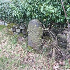
Milestone, Makeney Road; 50m N of Holbrook Hall drive
2.7 km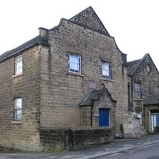
Pottery Methodist Church And Adjoining Schoolroom
3.5 km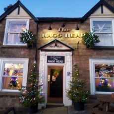
The Nag's Head Public House
4.1 km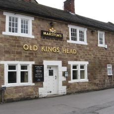
The Old King's Head Public House
4.1 km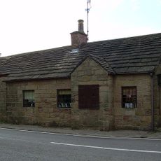
Turn Pike Cottage
2.9 km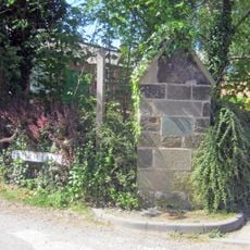
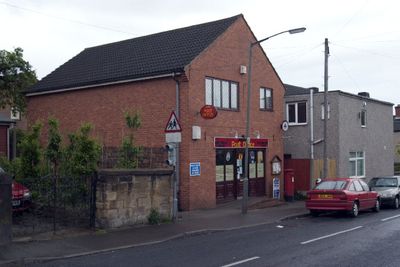
Old Post Box Opposite Horsley School
1.4 km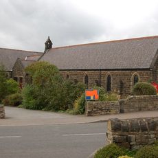
St Mark's Church
2.6 km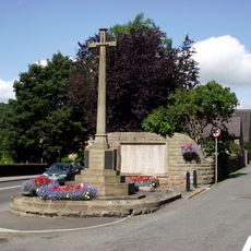
Milford War Memorial
3.6 km
20,22&24, Derby Road
3.9 km
11-21, Cheapside
4.1 km
Almshouses
4 km
The Fountain
4.1 km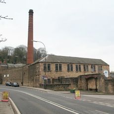
Building 51 Milford Dyehouse
3.6 km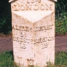
Milepost 20 Metres West Of Denby Pottery Works
2 km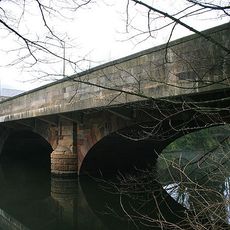
Milford Bridge
3.6 km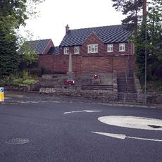
Kilburn War Memorial
843 m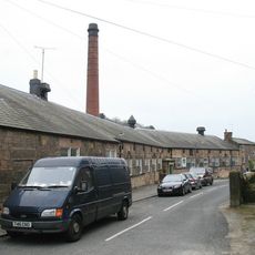
Milford County Junior Mixed And Infants School
3.7 km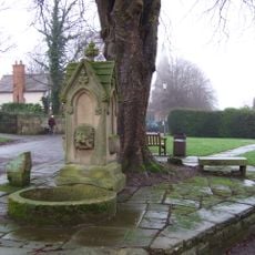
The Sophia Water Fountain At Sk 376 445
1.4 kmReviews
Visited this place? Tap the stars to rate it and share your experience / photos with the community! Try now! You can cancel it anytime.
Discover hidden gems everywhere you go!
From secret cafés to breathtaking viewpoints, skip the crowded tourist spots and find places that match your style. Our app makes it easy with voice search, smart filtering, route optimization, and insider tips from travelers worldwide. Download now for the complete mobile experience.

A unique approach to discovering new places❞
— Le Figaro
All the places worth exploring❞
— France Info
A tailor-made excursion in just a few clicks❞
— 20 Minutes