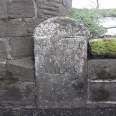
Penistone, Market town in South Yorkshire, England.
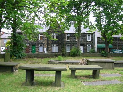
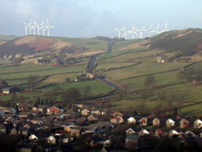
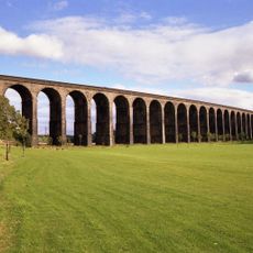
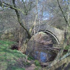
Penistone is a market town in South Yorkshire situated on a high ridge surrounded by farmland and dry stone walls. The town center hosts a weekly market and contains a health center, library, and shops that serve daily needs for residents and visitors alike.
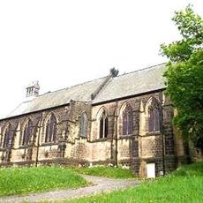
The settlement appeared in the Domesday Book in 1086 and later established a school in 1392 that would influence educational reform. Over centuries, the place grew from a rural hamlet into a trading center, shaped by its position on the moorland heights.
The town maintains deep roots in farming life, visible in community gatherings and the rhythm of the agricultural year. Local people take pride in supporting family-run businesses and preserving craft traditions that have shaped the area for generations.
The weekly market takes place on Thursday, and the town center is easily walkable from most starting points. The hilltop location means some walking involves slopes, but the views across the surrounding countryside reward the effort.
The school here became one of England's first comprehensive institutions following its 1392 founding, marking a pioneering role in education reform. This heritage shows how a local institution shaped national changes in how young people learn.
The community of curious travelers
AroundUs brings together thousands of curated places, local tips, and hidden gems, enriched daily by 60,000 contributors worldwide.