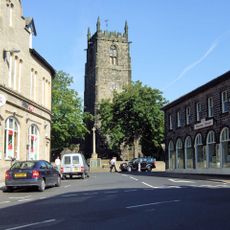
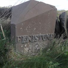
Saint John the Baptist Church, Penistone, Medieval parish church in Penistone, England
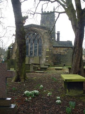
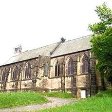
Saint John the Baptist Church is a stone parish building in Penistone with roots reaching back to the Middle Ages. Its prominent tower rises about 80 feet and displays two clock faces, while colored glass windows light up the interior.
The site traces back to the 10th century, but the building we see today was raised in the 13th century. The tower was added about 500 years later and shaped the structure that stands now.
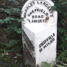
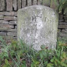
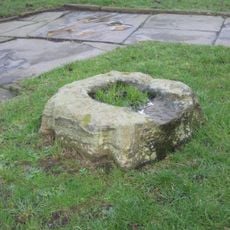
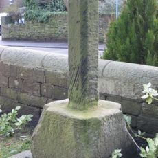
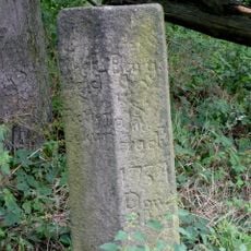
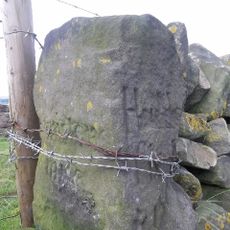
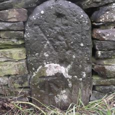
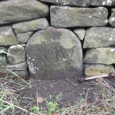
The church displays traces of different building periods visible in its stone fabric that visitors notice while walking through. Embedded stone fragments and cross bases in the yard speak to the faith of earlier people who shaped this place.
The building remains active and welcomes visitors for services and viewing. A renovation in the early 2000s modernized the facilities and improved access for anyone planning a visit.
Atop the tower sits a stainless steel weathervane shaped like a fish, an unexpected sight on this ancient building. This modern addition blends Christian symbolism with a nod to the region's industrial past.
The community of curious travelers
AroundUs brings together thousands of curated places, local tips, and hidden gems, enriched daily by 60,000 contributors worldwide.