
Elstead, village and civil parish in Surrey, UK
Location: Waverley
Shares border with: Seale and Sands
GPS coordinates: 51.18400,-0.69800
Latest update: March 6, 2025 12:21
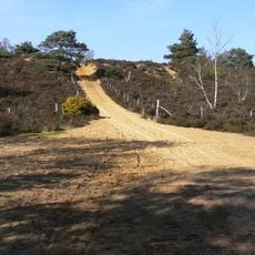
Hankley Common
3.4 km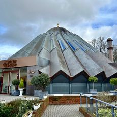
Mubarak Mosque
3.8 km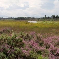
Thursley Common
2.6 km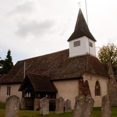
Church of St James
782 m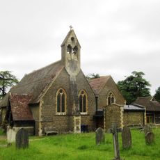
Church of All Saints
3.8 km
Rodsall Manor House
2.4 km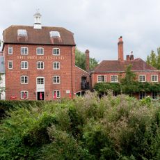
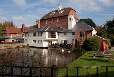
Elstead Mill
789 m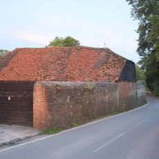
Tilford House
4.1 km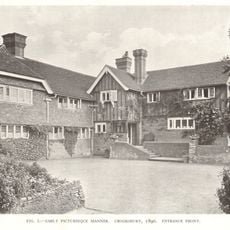
Crooksbury House, Fig Tree Court And West Wing
3.6 km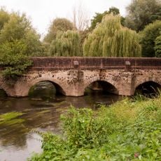
Elstead Bridge
609 m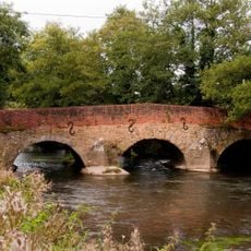
Somerset Bridge
1.1 km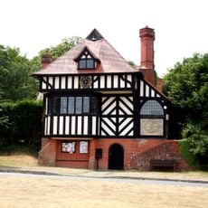
Tilford Institute
3.9 km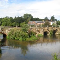
Bridge Over The River Wey To North East Side Of Green
3.7 km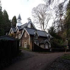
Firbank
2.2 km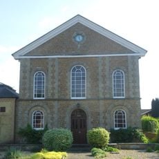
United Reformed Church and Attached Graveyard Wall with Gatepiers and Railings
147 m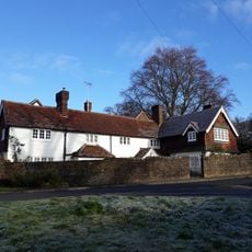
The Corner
3.9 km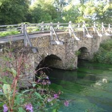
Bridge Over The River Wey To The North West Corner Of Tilford Green
3.9 km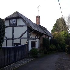
Olde Hall
4 km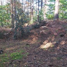
Soldier's Ring hillfort
4.1 km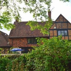
British Legion Clubhouse
528 m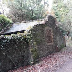
Garden Wall To Front Of Turner's
2.3 km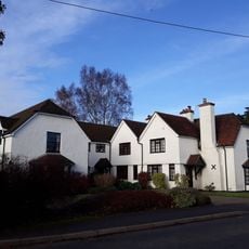
The Gables
768 m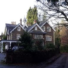
Turner's
2.3 km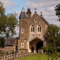
Oxenford Gate Lodge
2.1 km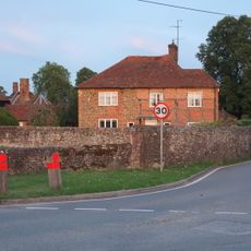
Tilford House Farm House
4.2 km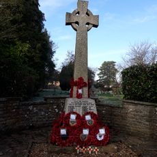
Elstead War Memorial
609 m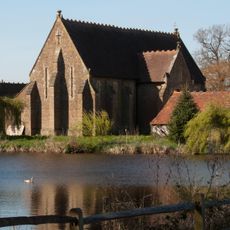
Barn At Oxenford Grange
2.2 km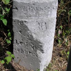
Milestone, Half Moon, on slip road (Old Portsmouth Road)
3.7 kmReviews
Visited this place? Tap the stars to rate it and share your experience / photos with the community! Try now! You can cancel it anytime.
Discover hidden gems everywhere you go!
From secret cafés to breathtaking viewpoints, skip the crowded tourist spots and find places that match your style. Our app makes it easy with voice search, smart filtering, route optimization, and insider tips from travelers worldwide. Download now for the complete mobile experience.

A unique approach to discovering new places❞
— Le Figaro
All the places worth exploring❞
— France Info
A tailor-made excursion in just a few clicks❞
— 20 Minutes