
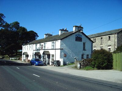
Whitwell and Selside, former civil parish in South Lakeland, Cumbria, England
Location: Selside and Fawcett Forest
GPS coordinates: 54.38900,-2.71800
Latest update: March 3, 2025 10:22
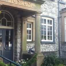
Kendal Museum
6.6 km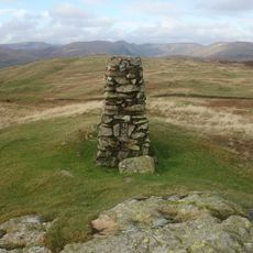
Potter Fell
3.9 km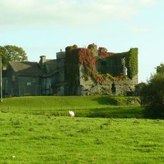
Burneside Hall
4.4 km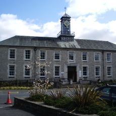
County Offices
6.7 km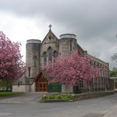
St George's Church, Kendal
6.7 km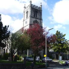
St Thomas' Church, Kendal
6.7 km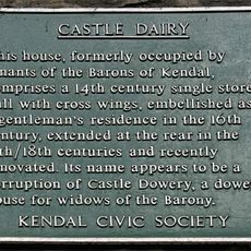
The Castle Dairy
6.6 km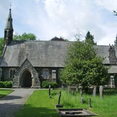
Church of St James
6.6 km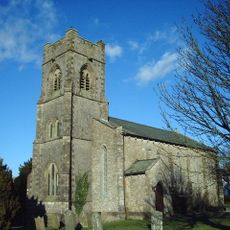
Church of St John
5 km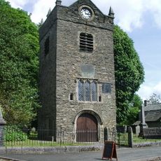
Tower of ruined chapel of St Margaret
6.5 km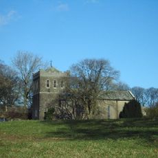
Church of St Thomas
321 m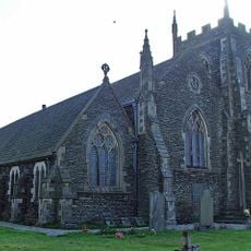
St Oswald's Church
4.8 km
Elba Monument
5.8 km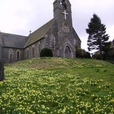
St John the Baptist's Church
4.1 km
Milestone On Loop Road 50 Yards South Of Junction Of Hollins Lane And Windermere
5.8 km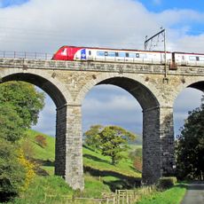
Docker Viaduct
4.9 km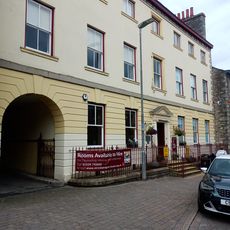
Stricklandgate House
6.9 km
98, Stricklandgate
6.9 km
Staveley War Memorial, Cumbria
6.5 km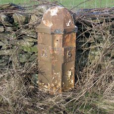
Milepost To West Of North Gateside
614 m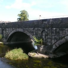
Stramongate Bridge
6.7 km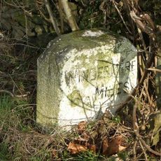
Milestone In Layby To Left Of A591 200 Metres North Of Ratherheath Lane
5.8 km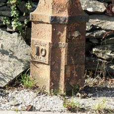
Milepost Opposite Memorial Hall
1.2 km
Gateway To South Of Tolson Hall And Attached Walls
5.4 km
No.108 And Passage Entry To No.110
6.8 km
Ywca
6.8 km
Milestone, Plumgarth roundabout; opp. 'Cunswick End'
6.3 km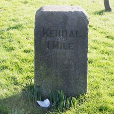
Milestone, Windermere Road, at top of hill out of Kendall, by Airey's Folly
6.3 kmVisited this place? Tap the stars to rate it and share your experience / photos with the community! Try now! You can cancel it anytime.
Discover hidden gems everywhere you go!
From secret cafés to breathtaking viewpoints, skip the crowded tourist spots and find places that match your style. Our app makes it easy with voice search, smart filtering, route optimization, and insider tips from travelers worldwide. Download now for the complete mobile experience.

A unique approach to discovering new places❞
— Le Figaro
All the places worth exploring❞
— France Info
A tailor-made excursion in just a few clicks❞
— 20 Minutes