Potter Fell, Mountain summit in Lake District National Park, England
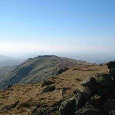
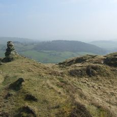
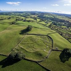
Potter Fell is a mountain complex in England's Lake District with four distinct summits scattered across the moorland terrain. The highest point is Brunt Knott, while other named peaks include Ulgraves, each offering different vantage points across the surrounding valleys.
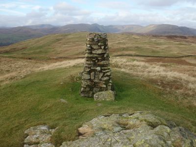
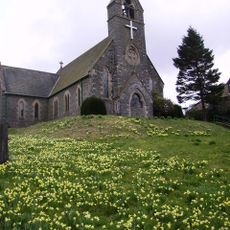
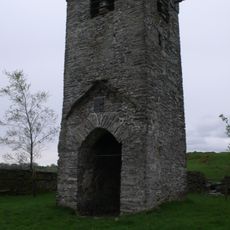
Potter Fell was documented by Alfred Wainwright in his guidebook 'The Outlying Fells of Lakeland', which brought recognition to the four summits. This reference helped establish the peaks as official waypoints in British fell-walking records.
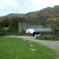
The Kent Angling Association manages fishing licenses at Gurnal Dubs, where a boathouse underwent restoration work in 1985 for community activities.
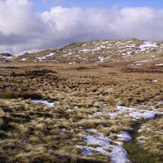
Visitors can reach all four summits via a circular route starting from Staveley, allowing for an extended day of fell-walking through the moorland. The terrain is open and exposed, so proper footwear and weather-appropriate clothing are advisable for any season.
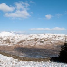
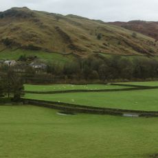
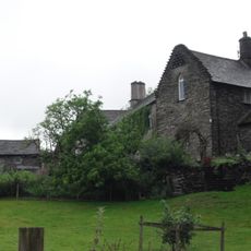
Potter Tarn, a mountain lake situated below one of the unnamed summits, feeds water to Croppers Paper Mill in Burneside through a historic water system. This connection reveals how the fell has long supported industrial activity in the surrounding valleys.
Elevation above the sea: 427 m
GPS coordinates: 54.39613,-2.77677
Latest update: December 14, 2025 12:21
Sallows
7 km
Burneside Hall
4.7 km
Grey Crag
6.9 km
Shipman Knotts
6.3 km
St Thomas' Church, Kendal
7.4 km
Reston Scar
4 km
Church of St Cuthbert
5.5 km
Hollin Hall
5.3 km
Church of St James
3.2 km
Hugill Fell
3.5 km
Church of St Anne
5.3 km
Church of St Thomas
4 km
Tower of ruined chapel of St Margaret
3.3 km
Sun Inn
6.1 km
St Oswald's Church
4.7 km
Elba Monument
5.2 km
St John the Baptist's Church
5.9 km
Milestone On Loop Road 50 Yards South Of Junction Of Hollins Lane And Windermere
5.2 km
Kentmere Hall And Attached Barn
6 km
Milepost To West Of North Gateside
3.3 km
Staveley War Memorial, Cumbria
3.2 km
Tower of ruined church of St Catherine
7.4 km
Romano-British settlement, 450m east of High Borrans
6 km
Milepost Opposite Memorial Hall
4.4 km
Milestone 10 Metres East Of Junction Of Crook Road And Ratherheath Lane
5.4 km
Milestone In Layby To Left Of A591 200 Metres North Of Ratherheath Lane
4.2 km
Gateway To South Of Tolson Hall And Attached Walls
5 km
Milestone, Plumgarth roundabout; opp. 'Cunswick End'
5.6 kmVisited this place? Tap the stars to rate it and share your experience / photos with the community! Try now! You can cancel it anytime.
Discover hidden gems everywhere you go!
From secret cafés to breathtaking viewpoints, skip the crowded tourist spots and find places that match your style. Our app makes it easy with voice search, smart filtering, route optimization, and insider tips from travelers worldwide. Download now for the complete mobile experience.
A unique approach to discovering new places❞
— Le Figaro
All the places worth exploring❞
— France Info
A tailor-made excursion in just a few clicks❞
— 20 Minutes