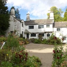
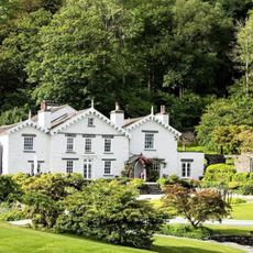
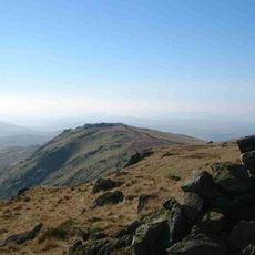
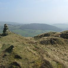
Sallows, Fell in Cumbria, England
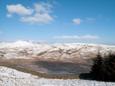
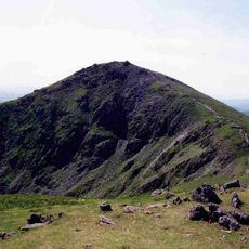
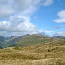
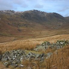
Sallows is a fell around 516 meters high that sits between Kentmere and Troutbeck valleys, with Sour Howes forming a paired ridge nearby. Multiple paths approach the summit from different directions, offering various walking routes depending on where visitors start their hike.
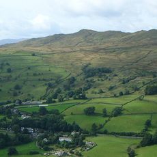
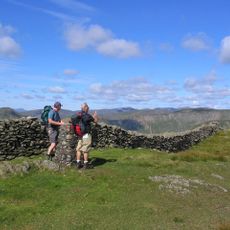
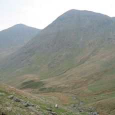
The pass above this peak once served as a trade route connecting the two adjacent valleys in medieval and later times. Over time excessive vehicle use led authorities to restrict access, transforming it into a limited walking path today.
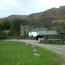
This fell belongs to the collection of Wainwright fells, a group of mountains that defines walking culture across the Lake District. Local walkers and visitors view these peaks as important waypoints on the landscape where generations have followed similar paths.
Visitors should bring sturdy footwear and proper hill-walking gear as conditions can become challenging quickly. Multiple access points from different valleys give walkers options to choose routes suited to their abilities and available time.
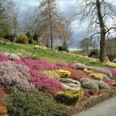
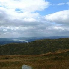
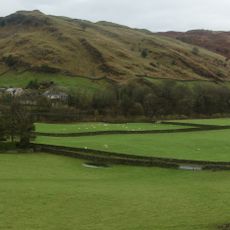
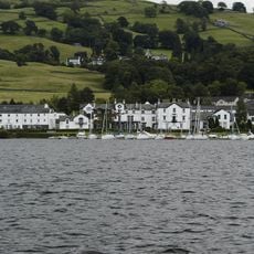
A nearby lake reveals an unusual transformation in the landscape: the site was once managed farmland that became marshland in the 1800s and later served as a mining location for a rare mineral until operations ceased in the early 1970s.
The community of curious travelers
AroundUs brings together thousands of curated places, local tips, and hidden gems, enriched daily by 60,000 contributors worldwide.