Enable Location

We need your location to show you interesting places around you

Discover nearby places

Find interesting locations and hidden gems around you

Precise directions

Get accurate directions and distances to places

Your location is never shared with other users. It's only used when you tap the location button.

Kentmere Pike

Log in to your account

Start exploring — it's free

Trusted by 62,883 travelers worldwide

Continue with Google
Continue with Apple
or

We will send you a code to connect

By continuing, you accept our Terms and Conditions and our Privacy Policy

Check your inbox

We've sent a pincode in your inbox. Please enter the code below.

Kentmere Pike
Discussion Reviews 1 Photos
1.4k Popularity

Kentmere Pike, Mountain summit in Cumbria, United Kingdom

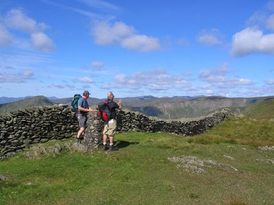
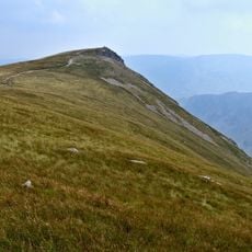
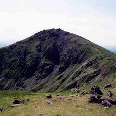
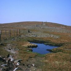
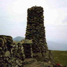
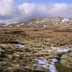
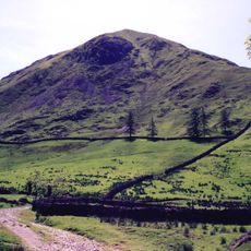
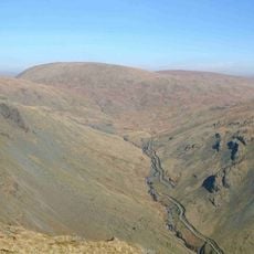
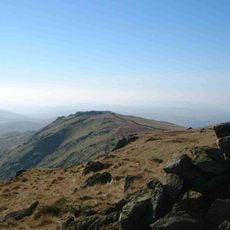
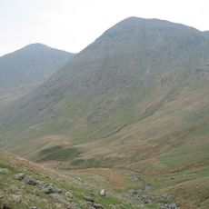
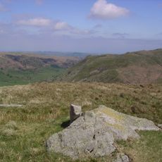
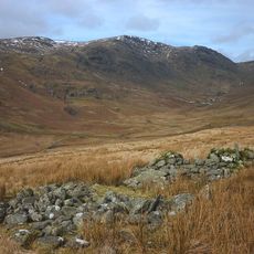
Kentmere Pike rises to 730 meters between the Kentmere and Longsleddale valleys with a grass-covered summit crowned by an Ordnance Survey column on its eastern side. The mountain has gentle slopes and is crossed by dry stone walls that structure the landscape.

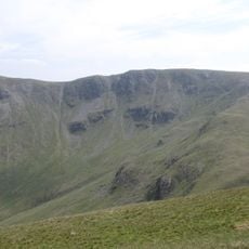
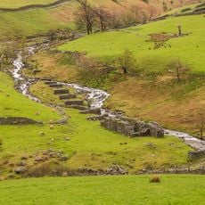
The western slopes show extensive signs of past quarrying work, with the large Wrengill Quarry positioned just north of the main summit. These stone pits were cut into the mountainside in earlier times and still shape how the landscape looks today.

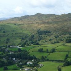
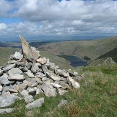
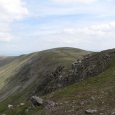
The mountain forms part of a traditional walking route called the Kentmere Horseshoe, connecting ridges on both sides of the valley. This route brings visitors through the landscape in a way that lets them experience the valley's shape and character.

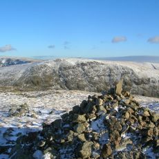
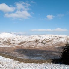
Access to the summit starts from an ancient worn path that begins at High Lane in the valley and leads up to the ridgeline where a dry stone wall stands south of the top. The ground is open and exposed, so visitors should be ready for sudden weather changes.

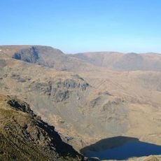
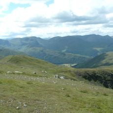
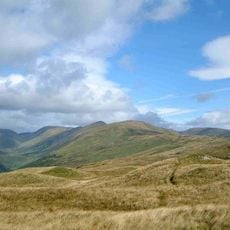
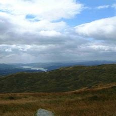
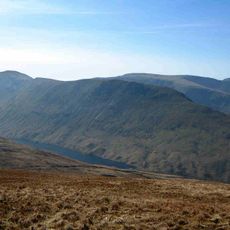
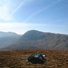
From the summit, views stretch across to the Ill Bell ridge, the Coniston Fells, and the Scafell group, while the gaze extends southward to Windermere and Morecambe Bay. This outlook reveals how the lakes and southern landscape fit together from this vantage point.

The community of curious travelers

AroundUs brings together thousands of curated places, local tips, and hidden gems, enriched daily by 60,000 contributors worldwide.

Start exploring
Location
Elevation above the sea
730 m
GPS coordinates
54.46267,-2.82618
Latest update
December 14, 2025 16:42
« Kentmere Pike - Mountain summit in Cumbria, United Kingdom » is provided by Around Us (aroundus.com). Images and texts are derived from Wikimedia project under a Creative Commons license. You are allowed to copy, distribute, and modify copies of this page, under the conditions set by the license, as long as this note is clearly visible.

Discover hidden gems everywhere you go!

From secret cafés to breathtaking viewpoints, skip the crowded tourist spots and find places that match your style. Our app makes it easy with voice search, smart filtering, route optimization, and insider tips from travelers worldwide. Download now for the complete mobile experience.

Around Us App Screenshot

A unique approach to discovering new places

Le Figaro

All the places worth exploring

France Info

A tailor-made excursion in just a few clicks

20 Minutes

Around Us
Travel Guide & Maps
Download

Send to your phone

QR Code
1

Open the camera app on your mobile.

2

Point at the QR code with your camera. A notification will appear.

3

Tap the notification to open the link.