Enable Location

We need your location to show you interesting places around you

Discover nearby places

Find interesting locations and hidden gems around you

Precise directions

Get accurate directions and distances to places

Your location is never shared with other users. It's only used when you tap the location button.

Thornthwaite Crag

Log in to your account

Start exploring — it's free

Trusted by 62,475 travelers worldwide

Continue with Google
Continue with Apple
or

We will send you a code to connect

By continuing, you accept our Terms and Conditions and our Privacy Policy

Check your inbox

We've sent a pincode in your inbox. Please enter the code below.

Thornthwaite Crag

Thornthwaite Crag, Mountain summit in Lake District, England

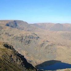
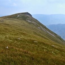
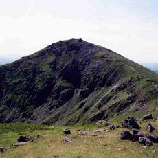
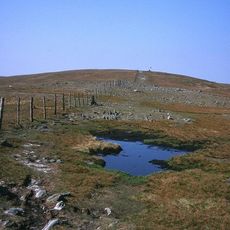
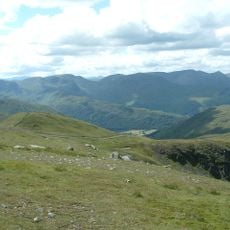
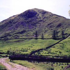
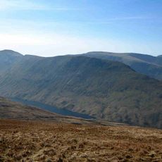
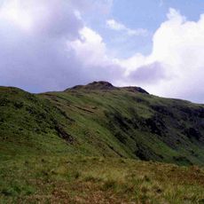
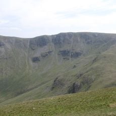
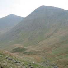
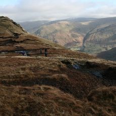
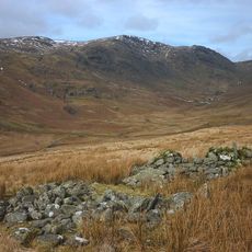
Thornthwaite Crag is a mountain summit in the Lake District Fells standing at about 784 meters with a broad, grass-covered peak area. Stone walls cross the summit terrain and connect several walking routes that pass through this elevated junction.

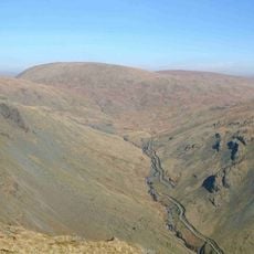
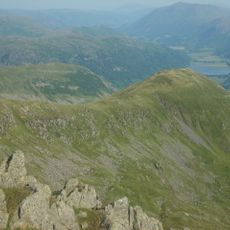
The location sits near the High Street, a Roman road built during the occupation of Britain that served as a major transport route through the region. This ancient path shows how long this mountain pass has been used as a way through the landscape.

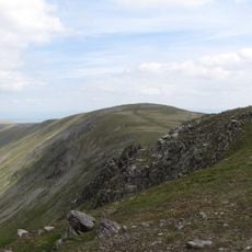
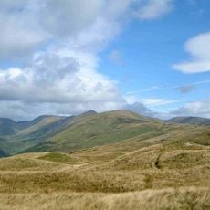
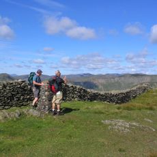
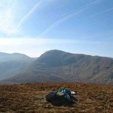
The summit serves as a meeting point for walkers exploring the Far Eastern Fells, drawing people from across the region who come here to share routes and views. The walking culture has shaped this location over time and made it a social anchor in the local fell-walking community.

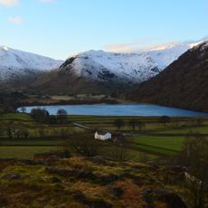
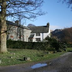
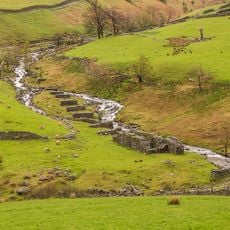
Multiple routes reach the summit from nearby villages including Hartsop, Troutbeck, and Kentmere, offering different approaches to suit various abilities. Visitors should wear sturdy footwear and weather-appropriate clothing as conditions change quickly at this elevation.

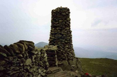
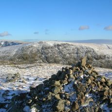
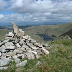
The summit features a distinctive stone beacon standing over 4 meters tall that serves as a landmark for walkers in changing weather conditions. This stone tower remains visible even when fog or snow obscures other landmarks on the fell.

The community of curious travelers

AroundUs brings together thousands of curated places, local tips, and hidden gems, enriched daily by 60,000 contributors worldwide.

Start exploring
Elevation above the sea
784 m
GPS coordinates
54.48263,-2.87886
Latest update
December 14, 2025 12:27
« Thornthwaite Crag - Mountain summit in Lake District, England » is provided by Around Us (aroundus.com). Images and texts are derived from Wikimedia project under a Creative Commons license. You are allowed to copy, distribute, and modify copies of this page, under the conditions set by the license, as long as this note is clearly visible.

Discover hidden gems everywhere you go!

From secret cafés to breathtaking viewpoints, skip the crowded tourist spots and find places that match your style. Our app makes it easy with voice search, smart filtering, route optimization, and insider tips from travelers worldwide. Download now for the complete mobile experience.

Around Us App Screenshot

A unique approach to discovering new places

Le Figaro

All the places worth exploring

France Info

A tailor-made excursion in just a few clicks

20 Minutes

Around Us
Travel Guide & Maps
Download

Send to your phone

QR Code
1

Open the camera app on your mobile.

2

Point at the QR code with your camera. A notification will appear.

3

Tap the notification to open the link.