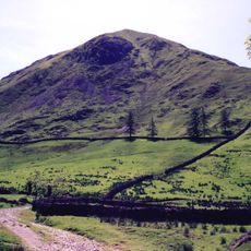
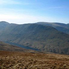
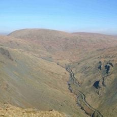
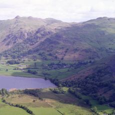
High Raise, Mountain summit in Lake District, England
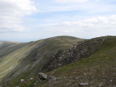
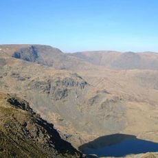
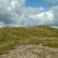
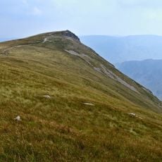
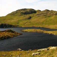
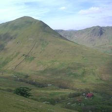
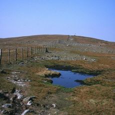
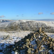
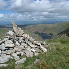
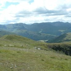
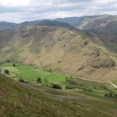
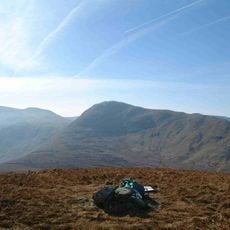
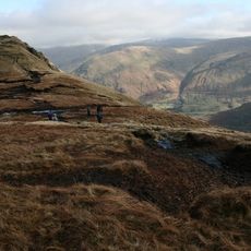
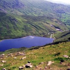
High Raise is a mountain summit in the Lake District that stands at 802 meters above sea level. From the top, views stretch across multiple valleys within the national park.
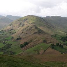
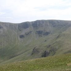
The mountain formed during the last Ice Age when glacial movements carved deep valleys and shaped the landscape patterns visible today. These geological processes left their mark across the entire region.
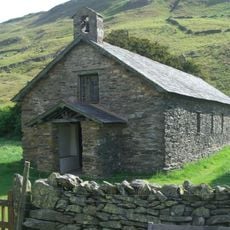
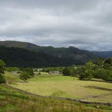
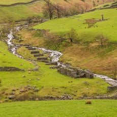
Local shepherds have maintained traditional farming practices on the slopes of High Raise for generations, preserving ancient agricultural methods.
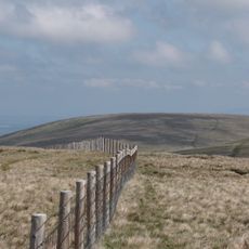
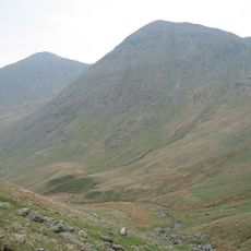
Several hiking routes lead to the summit from nearby villages, with stone markers showing the way along the paths. The trails offer varying difficulty levels to suit different fitness abilities.
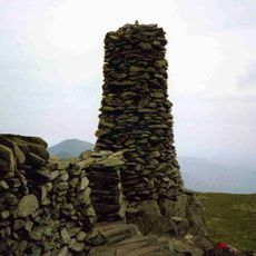
The summit contains a triangulation point that surveyors used during the 19th century to map the entire region. This marker remains visible as evidence of that surveying work.
The community of curious travelers
AroundUs brings together thousands of curated places, local tips, and hidden gems, enriched daily by 60,000 contributors worldwide.