Froswick, Mountain summit in Lake District, United Kingdom
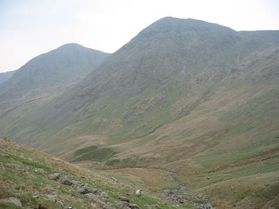
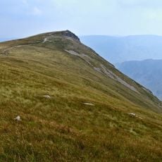
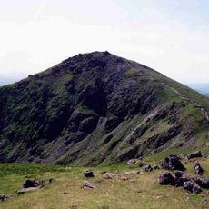
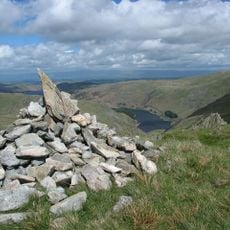
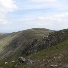
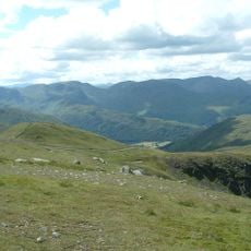
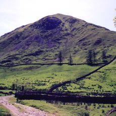
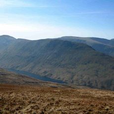
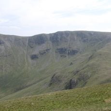
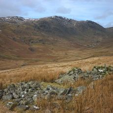
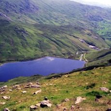
Froswick is a mountain summit rising to 720 meters between the Kentmere and Troutbeck valleys, with steep western slopes and broken eastern terrain marked by scree fields. The mountain displays distinct characteristics across its faces, from smoother ground on some sides to scattered rocky debris on others.
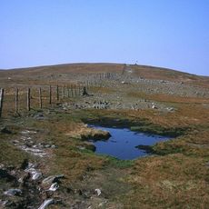
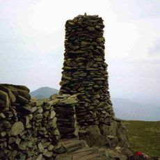
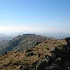
The mountain became part of the Wainwright Fells classification system, named after Alfred Wainwright's detailed Lake District guidebooks published in the 1950s. This categorization helped shape how people explore and understand the peaks in this region.
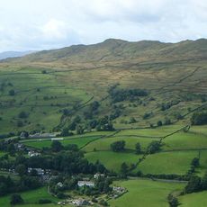
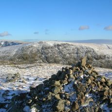
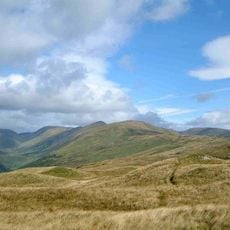
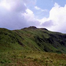
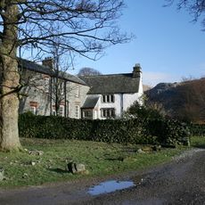
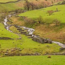
Shepherds have shaped these slopes through traditional grazing for many generations, and you can see how their work keeps the landscape looking as it does. Their presence remains an important part of daily life in the surrounding villages.
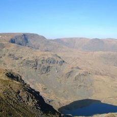
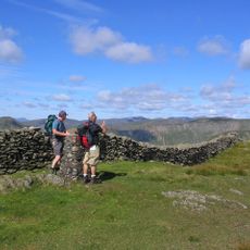
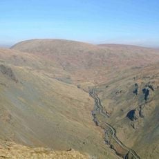
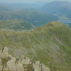
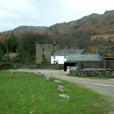
Hikers can reach the summit via the Kentmere Horseshoe route, a circular walk that connects multiple peaks and starts from Kentmere village. The route offers flexibility in how you approach it, since several entry points and shortcuts exist depending on your fitness level.
The mountain's north side features a striking ravine called Blue Gill with different rock patterns, giving the summit a visually complex character. This rough northern face contrasts sharply with the gentler southern slopes, making each side feel quite different to walk.
The community of curious travelers
AroundUs brings together thousands of curated places, local tips, and hidden gems, enriched daily by 60,000 contributors worldwide.