Enable Location

We need your location to show you interesting places around you

Discover nearby places

Find interesting locations and hidden gems around you

Precise directions

Get accurate directions and distances to places

Your location is never shared with other users. It's only used when you tap the location button.

Mardale Ill Bell

Log in to your account

Start exploring — it's free

Trusted by 63,437 travelers worldwide

Continue with Google
Continue with Apple
or

We will send you a code to connect

By continuing, you accept our Terms and Conditions and our Privacy Policy

Check your inbox

We've sent a pincode in your inbox. Please enter the code below.

Mardale Ill Bell
Discussion Reviews 1 Photos
1.8k Popularity

Mardale Ill Bell, Mountain summit in Cumbria, England.

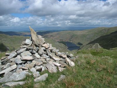
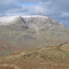
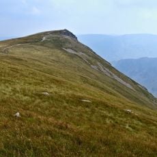
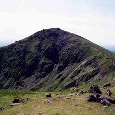
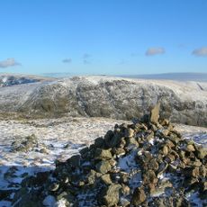
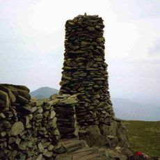
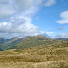
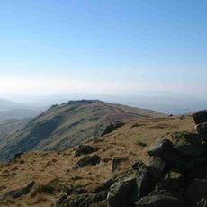
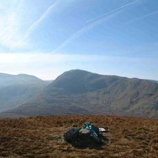
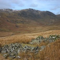
Mardale Ill Bell rises to 760 meters and forms an isolated summit point between the Kentmere valley and the Mardale area. The peak itself has two large stone cairns and presents a raw mountain form with steep slopes descending toward Kentmere Reservoir.

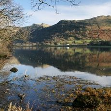
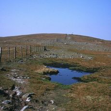
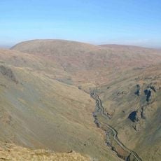
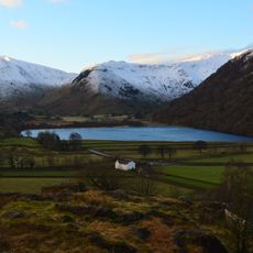
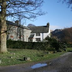
The old Nan Bield Pass near the summit served for centuries as a trade route between Kentmere and Mardale Green. This route lost its importance after the flooding of Haweswater in the 1940s, which transformed the valley.

The summit belongs to the Far Eastern Fells region and carries a name documented in Alfred Wainwright's famous walking guides for Lake District mountains. Visitors recognize this place as a notable point in the region's established walking tradition.

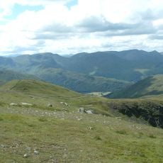
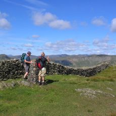
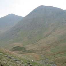
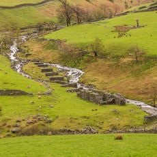
Hikers can climb from either Kentmere valley or from Mardale side, with the Kentmere Horseshoe path being the more direct and well-established route. It helps to wear sturdy hiking boots and carry a map, as the summit is exposed and weather can change quickly.

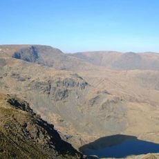
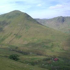
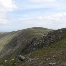
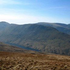
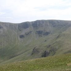
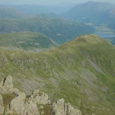
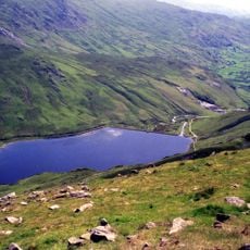
The northeastern face of the summit drops sharply into Blea Water, one of the deepest mountain tarns in the Lake District. This body of water reaches a depth of 63 meters, creating drama between peak and water that hikers often find striking.

The community of curious travelers

AroundUs brings together thousands of curated places, local tips, and hidden gems, enriched daily by 60,000 contributors worldwide.

Start exploring
Location
Elevation above the sea
760 m
GPS coordinates
54.48338,-2.85411
Latest update
December 14, 2025 11:41
Reviews
Share your experience

No review yet

Discussions
Start a discussion...

No discussion yet

« Mardale Ill Bell - Mountain summit in Cumbria, England » is provided by Around Us (aroundus.com). Images and texts are derived from Wikimedia project under a Creative Commons license. You are allowed to copy, distribute, and modify copies of this page, under the conditions set by the license, as long as this note is clearly visible.

Discover hidden gems everywhere you go!

From secret cafés to breathtaking viewpoints, skip the crowded tourist spots and find places that match your style. Our app makes it easy with voice search, smart filtering, route optimization, and insider tips from travelers worldwide. Download now for the complete mobile experience.

Around Us App Screenshot

A unique approach to discovering new places

Le Figaro

All the places worth exploring

France Info

A tailor-made excursion in just a few clicks

20 Minutes

Around Us
Travel Guide & Maps
Download

Send to your phone

QR Code
1

Open the camera app on your mobile.

2

Point at the QR code with your camera. A notification will appear.

3

Tap the notification to open the link.