The Knott, Mountain summit in Patterdale, England
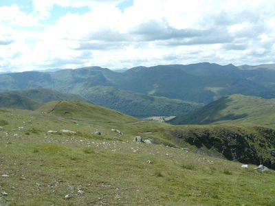
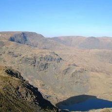
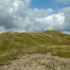
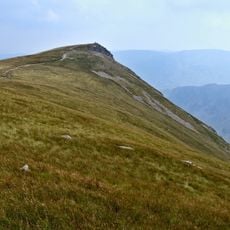
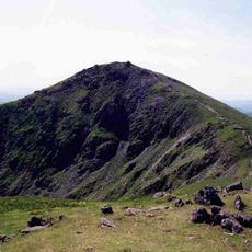
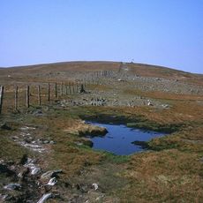
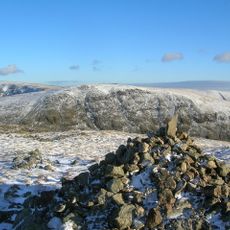
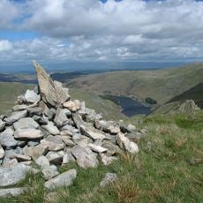
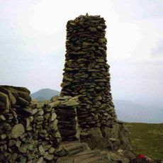
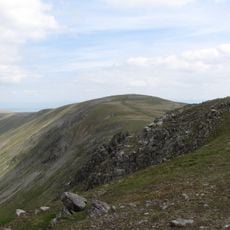
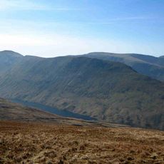
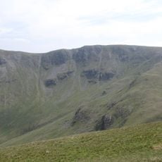
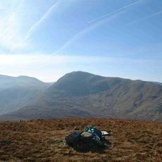
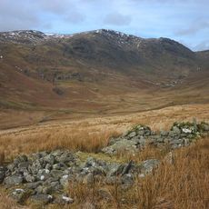
The Knott is a mountain in the Northern Fells of the Lake District, rising to 739 meters with a summit featuring rocky outcrops and grassy slopes. The terrain appears shaped by natural weathering and centuries of grazing, with open ridges that drop away to deeper valleys on most sides.
The name Knott comes from Old English and originally meant a rocky or prominent hill in the landscape. This naming reflects how early settlers in the region understood and described the geography of these Cumbrian mountains.
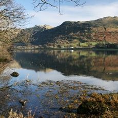
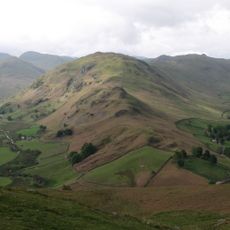
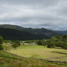
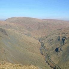
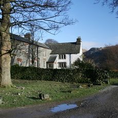
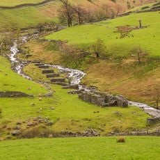
Shepherds have worked these slopes for generations, and their traditional practices still shape how the land looks today. Stone walls and paths built over centuries guide both animals and visitors through the valleys below.
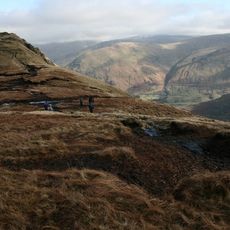
Several hiking routes lead to the summit from both Patterdale and Martindale valleys, each with clear markings and well-established paths. Most trails are accessible to walkers of different abilities, though some rocky sections require careful footing.
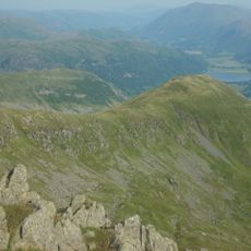
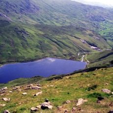
The summit sits at a natural boundary between Patterdale and Martindale valleys, offering views across both distinct landscapes from a single vantage point. This dual perspective makes it a special place to see how different parts of the region connect.
The community of curious travelers
AroundUs brings together thousands of curated places, local tips, and hidden gems, enriched daily by 60,000 contributors worldwide.