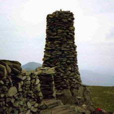
Angletarn Pikes, Mountain summit in Cumbria, United Kingdom.
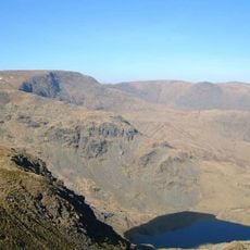
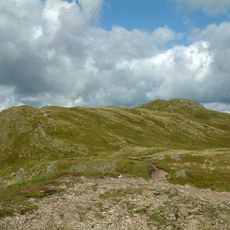
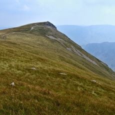
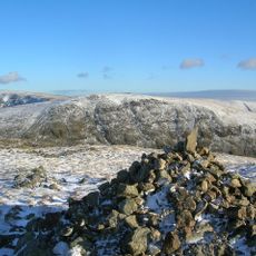
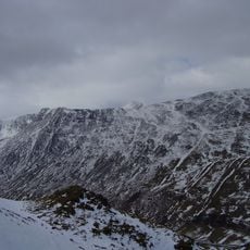
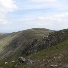
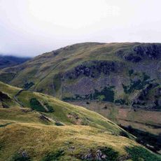
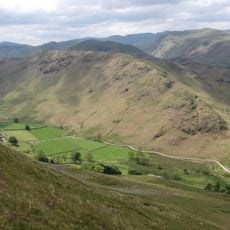
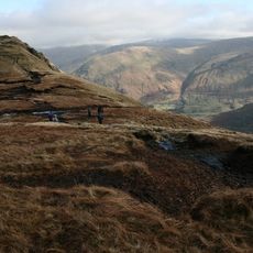
Angletarn Pikes consists of two distinct rocky summits separated by roughly 200 yards of peaty bog stretching between them. The northern peak rises to 567 meters elevation and commands views across the surrounding Lake District fells.
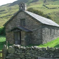
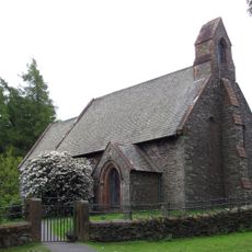
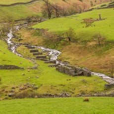
The mountain has been traversed since ancient times, with evidence of human activity visible in the remains of Chapel in the Hause, an old structure positioned high in the mountain pass. This ruin suggests the route was important for early travelers crossing the fells.
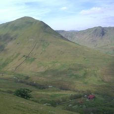
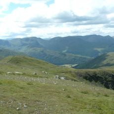
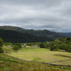
The mountain lies within the Lake District National Park, an area that inspired British writers and poets through its dramatic natural forms. Visitors often connect the region to the literary traditions and artistic movements of the 18th and 19th centuries.
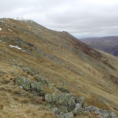
The mountain can be reached from several starting points including Patterdale, Hartsop, and Boredale Head, with the most popular route beginning at Boredale Hause. The terrain is generally marked, but expect wet and soft ground across the moorland sections, particularly after rain.
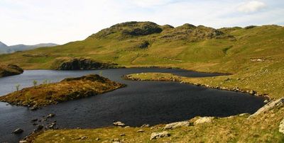
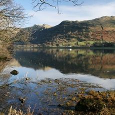
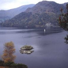
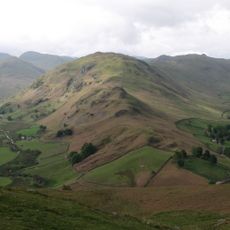
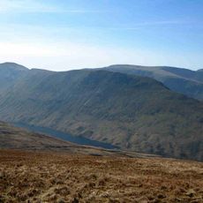
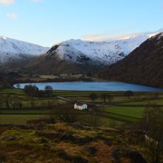
The name comes from Angle Tarn, a small lake nestled below the summit where the twin peaks reflect across the water surface on clear days. The lake has a small island at its center, which disrupts the mirror-like reflection in a subtle way.
The community of curious travelers
AroundUs brings together thousands of curated places, local tips, and hidden gems, enriched daily by 60,000 contributors worldwide.