Enable Location

We need your location to show you interesting places around you

Discover nearby places

Find interesting locations and hidden gems around you

Precise directions

Get accurate directions and distances to places

Your location is never shared with other users. It's only used when you tap the location button.

Brock Crags

Log in to your account

Start exploring — it's free

Trusted by 62,874 travelers worldwide

Continue with Google
Continue with Apple
or

We will send you a code to connect

By continuing, you accept our Terms and Conditions and our Privacy Policy

Check your inbox

We've sent a pincode in your inbox. Please enter the code below.

Brock Crags

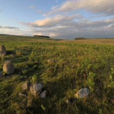
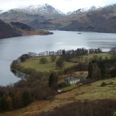
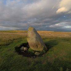
Brock Crags, Mountain summit in Cumbria, England

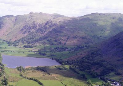
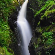
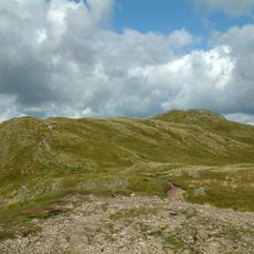
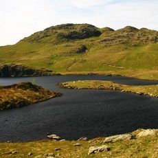
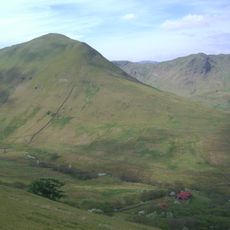
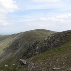
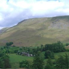
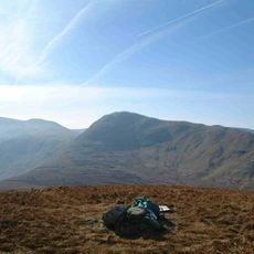
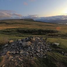
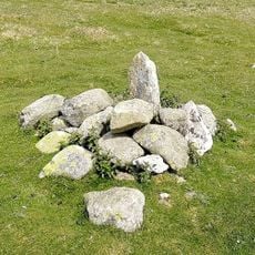
Brock Crags is a summit in the Far Eastern Fells standing at about 560 meters, marked by steep slopes and exposed rock formations. A narrow ridge connects it toward Rest Dodd, with a small mountain pool nestled between the highest points.

The summit gained prominence through Alfred Wainwright's Pictorial Guide, which established it as a destination for walkers in the region. Interestingly, Wainwright overlooked a higher unnamed point nearby when compiling his influential guidebook.

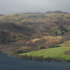
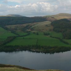
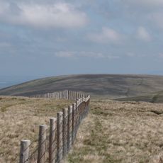
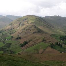
The mountain sits within the Lake District's network of walking routes, where hikers follow traditional paths that have been used for generations to connect nearby peaks. These established trails form an important part of how the local community relates to the hills.

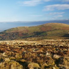
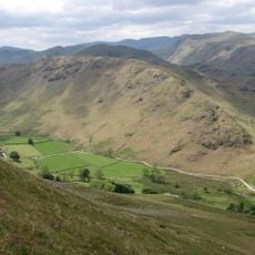
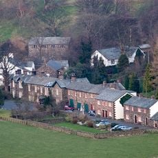
The hike starts from the car park near Hartsop village and follows a clear path through Hayeswater Gill toward the summit area. The route is generally well-marked, though hikers should expect steep sections and rocky terrain, especially along the narrow ridge.

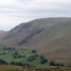
A small mountain pool sits between the two highest points of the summit, offering hikers an unexpected freshwater spot to visit. Nearby, Cat Crag, a lower outlying peak at about 500 meters, provides a vantage point over the nearby Angle Tarn.

The community of curious travelers

AroundUs brings together thousands of curated places, local tips, and hidden gems, enriched daily by 60,000 contributors worldwide.

Start exploring
Location
Elevation above the sea
562 m
GPS coordinates
54.56264,-2.84782
Latest update
December 14, 2025 18:16
« Brock Crags - Mountain summit in Cumbria, England » is provided by Around Us (aroundus.com). Images and texts are derived from Wikimedia project under a Creative Commons license. You are allowed to copy, distribute, and modify copies of this page, under the conditions set by the license, as long as this note is clearly visible.

Discover hidden gems everywhere you go!

From secret cafés to breathtaking viewpoints, skip the crowded tourist spots and find places that match your style. Our app makes it easy with voice search, smart filtering, route optimization, and insider tips from travelers worldwide. Download now for the complete mobile experience.

Around Us App Screenshot

A unique approach to discovering new places

Le Figaro

All the places worth exploring

France Info

A tailor-made excursion in just a few clicks

20 Minutes

Around Us
Travel Guide & Maps
Download

Send to your phone

QR Code
1

Open the camera app on your mobile.

2

Point at the QR code with your camera. A notification will appear.

3

Tap the notification to open the link.