Hallin Fell, Mountain summit in Lake District, England
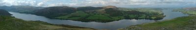
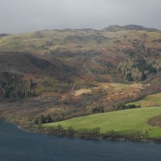
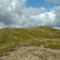
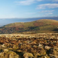
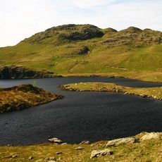
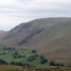
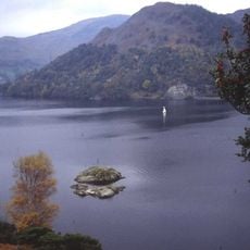
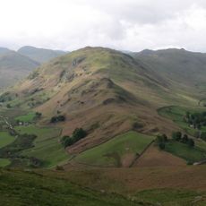
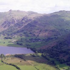
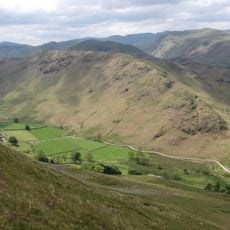
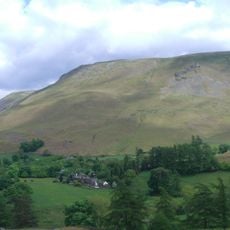
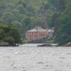
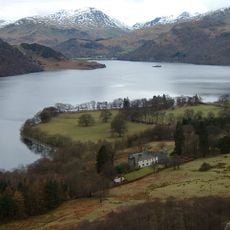
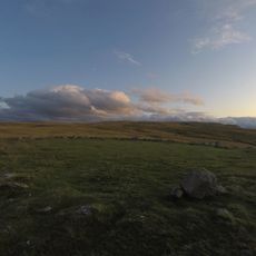
Hallin Fell is a 388 meter mountain rising above Ullswater with rounded grassy slopes meeting a summit area scattered with small knolls. The terrain is shaped by natural rock outcroppings that break up the grass-covered surface and create the fell's distinctive profile.
The fell became widely known through Alfred Wainwright's detailed guidebooks in the 20th century that documented Lake District peaks. This documentation established it as a recognized summit among walkers and helped shape modern hiking routes in the region.
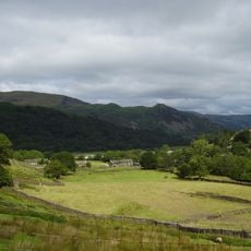
The fell has become embedded in local walking traditions where people pair hikes up with boat journeys across Ullswater. These combined outings connect hilltop exploration with lakeside travel in a way that shapes how many experience the area.
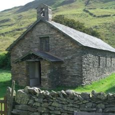
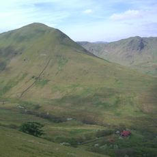
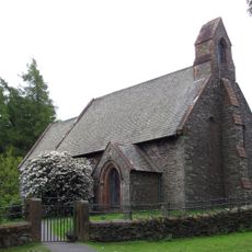
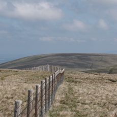
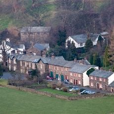
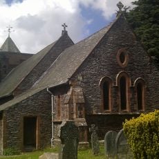
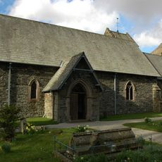
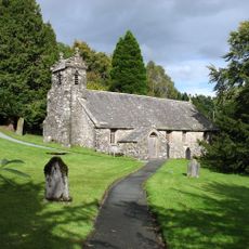
The walk starts from several trailheads including St Peter's Church at The Hause and the hamlet of Howtown. Routes are straightforward and suit hikers of different skill levels without needing any scrambling or technical climbing.
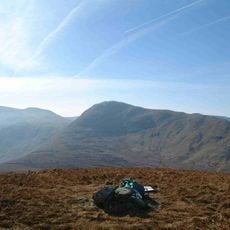
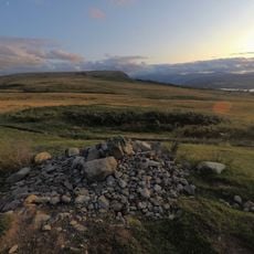
The summit features a distinctive square stone cairn that stands out against the landscape and offers clear sightlines. From this marker, hikers can see a chain of surrounding fells and the expanse of Ullswater stretching below.
The community of curious travelers
AroundUs brings together thousands of curated places, local tips, and hidden gems, enriched daily by 60,000 contributors worldwide.