Enable Location

We need your location to show you interesting places around you

Discover nearby places

Find interesting locations and hidden gems around you

Precise directions

Get accurate directions and distances to places

Your location is never shared with other users. It's only used when you tap the location button.

Gowbarrow Fell

Log in to your account

Start exploring — it's free

Trusted by 62,864 travelers worldwide

Continue with Google
Continue with Apple
or

We will send you a code to connect

By continuing, you accept our Terms and Conditions and our Privacy Policy

Check your inbox

We've sent a pincode in your inbox. Please enter the code below.

Gowbarrow Fell

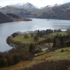
Gowbarrow Fell, Summit in Lake District, England

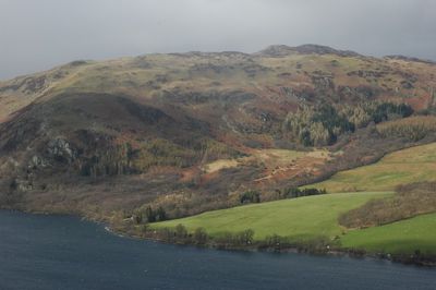
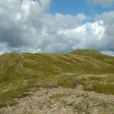
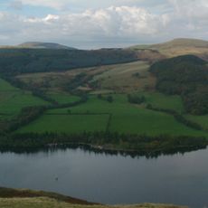
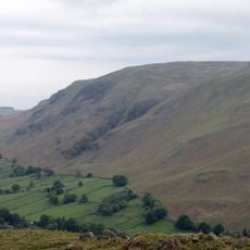
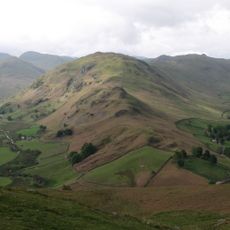
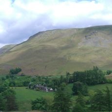
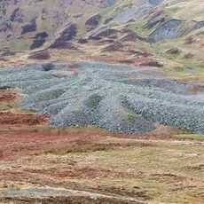
Gowbarrow Fell is a summit in the Lake District rising to about 481 meters with a broad plateau dotted with rocky outcrops. The top features a triangulation point and open views across the surrounding moorland and fell.

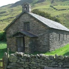
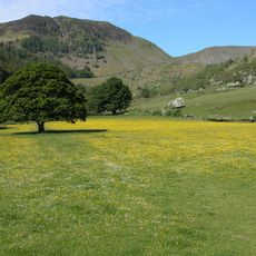
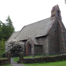
Medieval lords of Greystoke used the area as hunting grounds, establishing early settlement in the region. The National Trust acquired the estate in 1906 to preserve these ancient lands and their natural features.

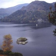
The name comes from Old English meaning windy hill, and the location has inspired writers and artists drawn to the natural beauty of the moorland. Visitors today experience the same open views that captivated Romantic-era poets.

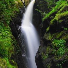
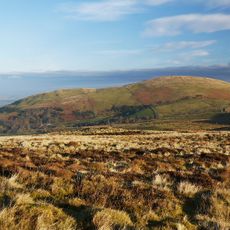
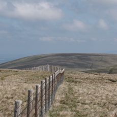
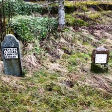
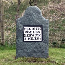
You can reach the summit from several starting points including Aira Force car park on the A592 road or from Dockray village. The paths are steep in places and exposed to weather, so sturdy footwear and wind protection are worth bringing.

The rocks here formed during the Ordovician period through volcanic activity millions of years ago, giving the fell a window into deep geological time. This makes the rocky landscape a record of ancient earth-building forces.

The community of curious travelers

AroundUs brings together thousands of curated places, local tips, and hidden gems, enriched daily by 60,000 contributors worldwide.

Start exploring
GPS coordinates
54.58811,-2.91816
Latest update
December 11, 2025 11:01
« Gowbarrow Fell - Summit in Lake District, England » is provided by Around Us (aroundus.com). Images and texts are derived from Wikimedia project under a Creative Commons license. You are allowed to copy, distribute, and modify copies of this page, under the conditions set by the license, as long as this note is clearly visible.

Discover hidden gems everywhere you go!

From secret cafés to breathtaking viewpoints, skip the crowded tourist spots and find places that match your style. Our app makes it easy with voice search, smart filtering, route optimization, and insider tips from travelers worldwide. Download now for the complete mobile experience.

Around Us App Screenshot

A unique approach to discovering new places

Le Figaro

All the places worth exploring

France Info

A tailor-made excursion in just a few clicks

20 Minutes

Around Us
Travel Guide & Maps
Download

Send to your phone

QR Code
1

Open the camera app on your mobile.

2

Point at the QR code with your camera. A notification will appear.

3

Tap the notification to open the link.