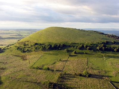
Great Mell Fell, Mountain summit in Lake District, England.
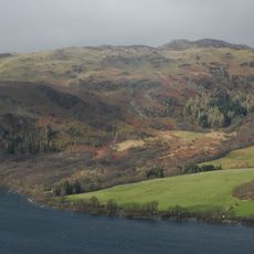
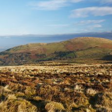
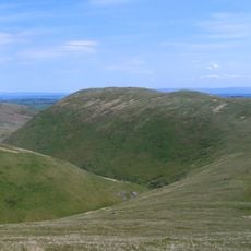
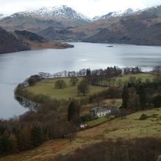
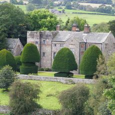
Great Mell Fell is a rounded mountain in the Lake District with a height of about 540 meters. Its lower slopes are covered in dense woodland, while higher sections have more open ground with scattered larch and pine trees.
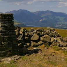
The mountain was first recorded by name in 1279 as Melfel and later appeared in various spellings throughout the centuries. The summit bears traces of Bronze Age activity, underscoring humanity's long relationship with this landscape.
The summit area shows signs of ancient inhabitation that become visible as you climb higher. The landscape reveals how people have connected with this place across different periods.
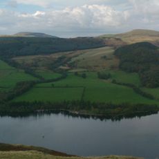
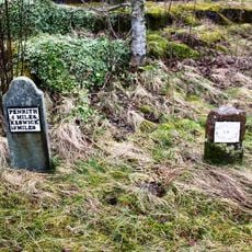
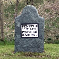
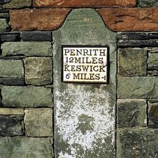
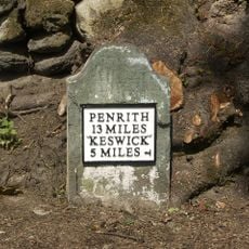
Several paths lead from Brownrigg Farm to the summit, and the land is managed by the National Trust for open access. The landscape remains accessible for free hiking throughout the year regardless of season.
The mountain is formed from red Devonian conglomerate rock, a geological composition that sets it apart from surrounding peaks. This distinctive material gives it a separate geological identity within the wider Lake District landscape.
Location: Cumbria
Elevation above the sea: 537 m
GPS coordinates: 54.61987,-2.93568
Latest update: December 12, 2025 12:00
Aira Force
4.8 km
Greystoke Castle
6.7 km
Sharrow Bay Country House
6.8 km
Gowbarrow Fell
3.7 km
Hallin Fell
6.6 km
Dacre Castle
6.5 km
Clough Head
6.9 km
Threlkeld Quarry and Mining Museum Railway
7.1 km
Hart Side
6.8 km
Little Mell Fell
3 km
Souther Fell
5.6 km
Mosedale Viaduct
4.2 km
St Andrew's Church, Dacre
6.4 km
All Saints Church, Watermillock
4.2 km
Matterdale Church
2.9 km
Church of St Kentigern, Mungrisdale
6.1 km
Lyulph's Tower
5.2 km
Post Office
7 km
Boot and Shoe Inn, former stables and Numbers 1 and 2 The Hill
7 km
Village Cross
7 km
Hutton John And Barn Adjoining
4.6 km
Milestone At Ny 354 267
4.4 km
Boundary Stone South Of Moss Dyke
6.4 km
Boundary Stone South East Of Junction Of A66 And Dacre Road
6.2 km
Milestone, Penruddick, Slip road to A66
4.1 km
Milestone, Entrance to Lisco Farm
3.4 km
Milestone, Gate Crag, Scales
5.8 km
Milestone, Wood End, E end of village
7.1 kmVisited this place? Tap the stars to rate it and share your experience / photos with the community! Try now! You can cancel it anytime.
Discover hidden gems everywhere you go!
From secret cafés to breathtaking viewpoints, skip the crowded tourist spots and find places that match your style. Our app makes it easy with voice search, smart filtering, route optimization, and insider tips from travelers worldwide. Download now for the complete mobile experience.
A unique approach to discovering new places❞
— Le Figaro
All the places worth exploring❞
— France Info
A tailor-made excursion in just a few clicks❞
— 20 Minutes